Most international borders exist as little more than lines on a map. But in a handful of remarkable places, those invisible lines cut through neighborhoods, hotels, libraries, mountains, and even living rooms, turning everyday routines into something extraordinary. Here, walking across the street can mean changing languages, laws, currencies, or even time zones without ever feeling like you’ve left town.
Some of these places were divided by wars, others by centuries-old treaties, and a few simply evolved around borders that became more important over time. Together, they prove that geography isn’t always neat. Sometimes the most fascinating borders aren’t found on maps at all, but beneath your feet.
1. Baarle-Hertog / Baarle-Nassau (Belgium & Netherlands)
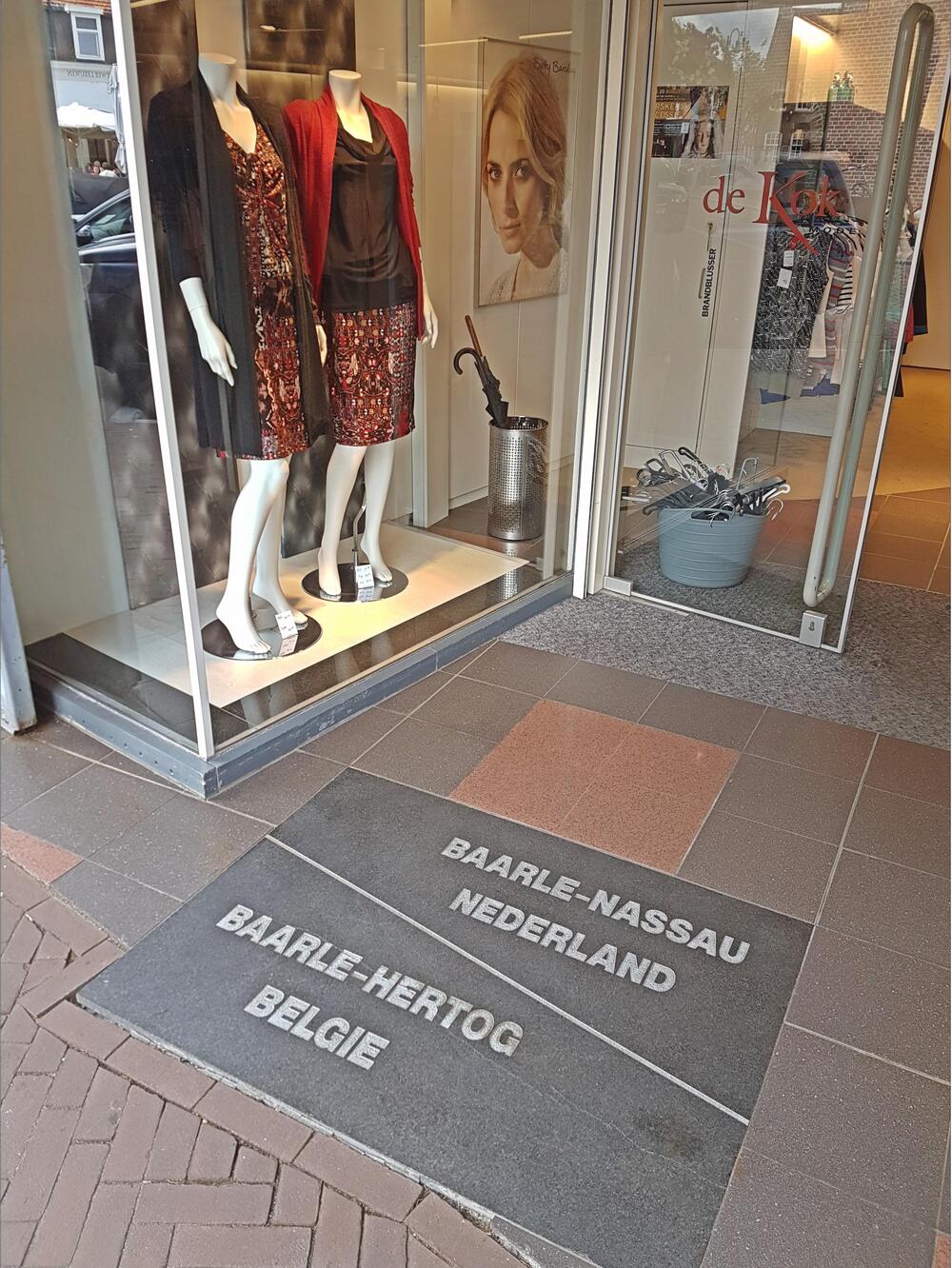
Imagine discovering that your front door belongs to one country while your backyard belongs to another. In Baarle-Hertog and Baarle-Nassau, that’s part of everyday life. Instead of following a clean line, the Belgian-Dutch border twists through neighborhoods in a maze of enclaves and counter-enclaves, crossing streets, gardens, businesses, and even private homes. Some residents literally live in houses where different rooms sit in different countries, making this one of the most unusual border arrangements anywhere on Earth.
2. Derby Line / Stanstead (United States & Canada)
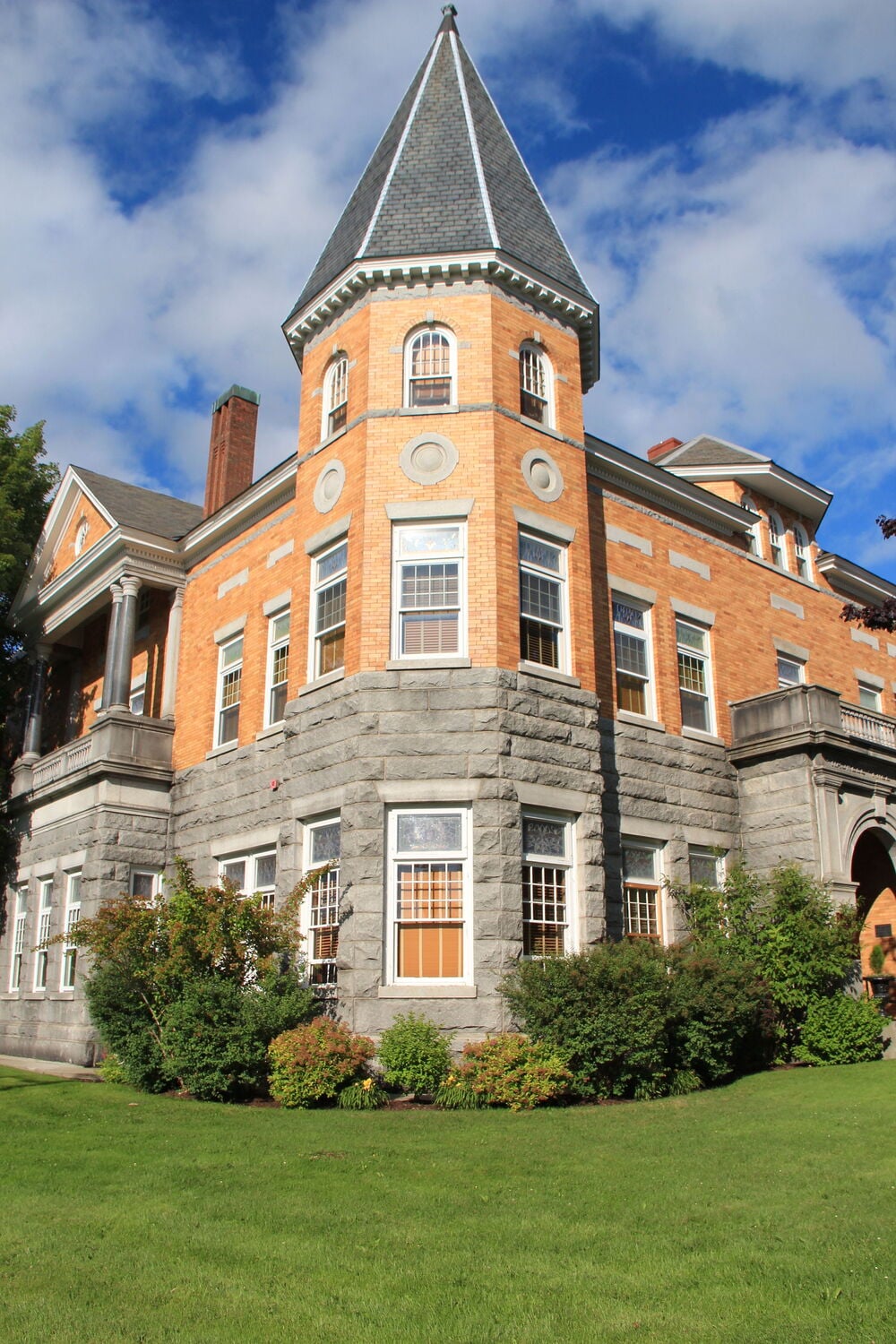
Nothing about these neighboring communities looks unusual until you notice where the international boundary actually runs. The famous Haskell Free Library and Opera House was built directly across the U.S.-Canada border, allowing visitors to stand in two countries inside the same building. Derby Line and Stanstead grew together long before border security became what it is today, preserving a unique community where geography still reflects a much more connected past.
3. Valga / Valka (Estonia & Latvia)
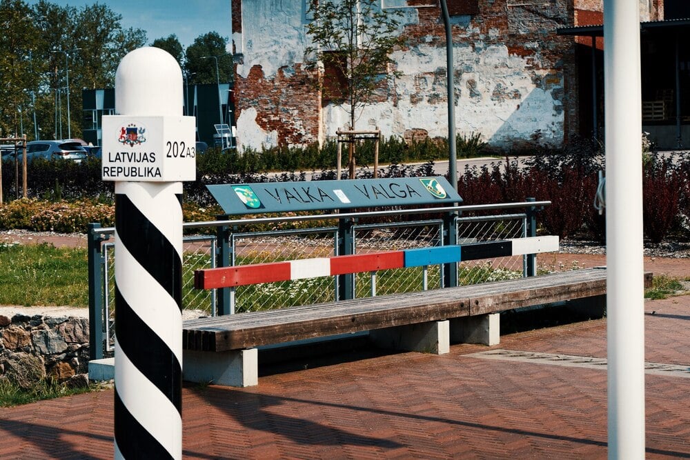
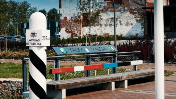
For hundreds of years, this was simply one city. Then, in 1920, a new border divided it into Valga, Estonia, and Valka, Latvia. Today the split feels surprisingly subtle. Thanks to the Schengen Area, locals and visitors can move across the shared central square almost effortlessly, crossing an international border during an ordinary walk without the checkpoints many people expect.
4. Gorizia / Nova Gorica (Italy & Slovenia)
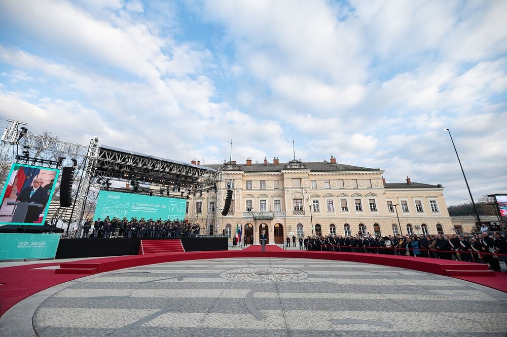
A train station, a public square, and a political decision transformed one community into two. After World War II, Gorizia found itself separated from territory that later became Nova Gorica. Rather than erase that history, both cities embraced it. Europe Square now invites people to pause exactly where the border once represented division, turning a former barrier into one of the area’s biggest attractions.
5. Cieszyn / Český Těšín (Poland & Czechia)
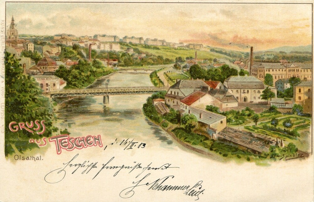
What if the river flowing through your hometown suddenly became an international frontier? That’s exactly what happened in 1920, when the historic town of Teschen was divided, and the Olza River became the border between Poland and what was then Czechoslovakia. The bridges still connect both sides today, but crossing them means stepping between two languages, two administrations, and two countries that once shared the very same streets.
Trending on The Scroller
6. Görlitz / Zgorzelec (Germany & Poland)
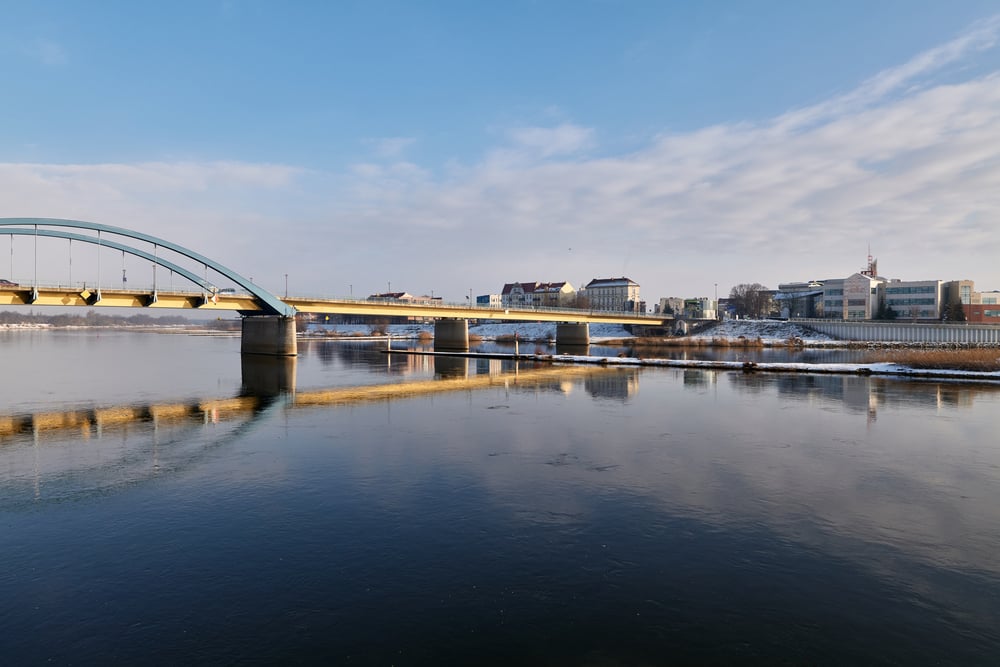
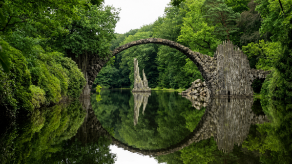
The river looks peaceful enough, yet it completely changed the destiny of an entire city. After World War II, the Neisse River became part of the new German-Polish border, leaving Görlitz on one bank and creating Zgorzelec on the other. What had once been neighborhoods within the same town suddenly belonged to different countries, governments, and legal systems. Today, bridges reconnect the two sides, but the river still marks one of Europe’s most significant postwar boundaries.
7. Frankfurt (Oder) / Słubice (Germany & Poland)
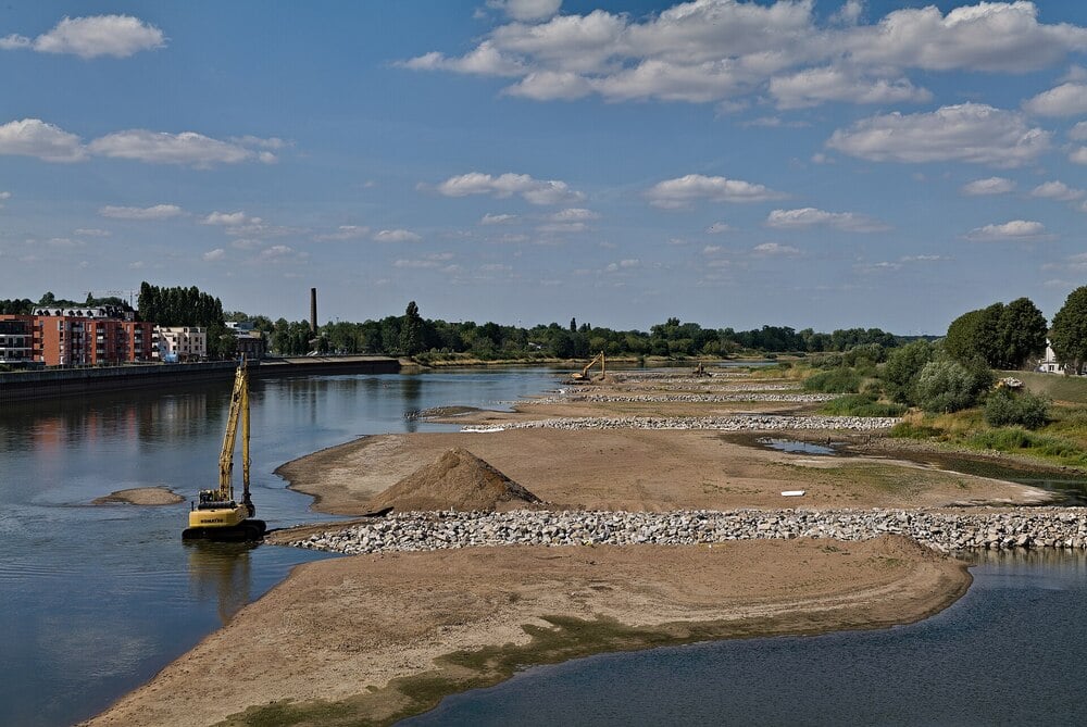
Look across the bridge, and you’ll see another city. Cross it, and you’ll also cross into another country. Frankfurt (Oder) and Słubice function as close neighbors connected by daily commuting, shopping, and education, even though the Oder River now separates Germany from Poland. Perhaps the most surprising detail is that Słubice originally developed as Frankfurt’s eastern suburb before history transformed it into an entirely different municipality.
8. Guben / Gubin (Germany & Poland)
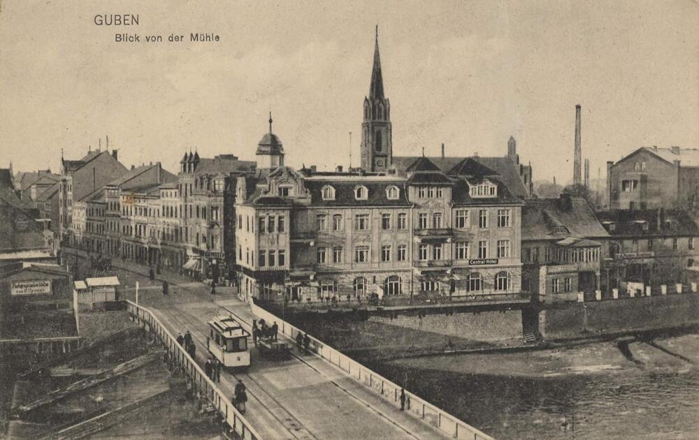
Not every divided city became internationally famous. Guben and Gubin quietly tell the same story on a smaller scale. Following the end of World War II, the Neisse River was chosen as the new border, splitting the historic town into two communities. Daily life adapted over time, but the geography still reflects the moment when a single city became part of two different nations almost overnight.
Sign up for our newsletter
9. Komárom / Komárno (Hungary & Slovakia)
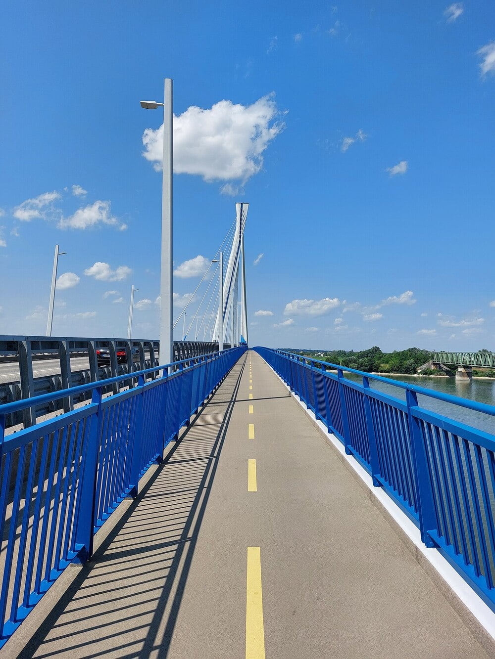
Stand on one side of the Danube, and you’re in Hungary. Walk across the bridge and, within minutes, you’ve entered Slovakia. The breakup of Austria-Hungary transformed this once-unified city into two separate municipalities divided by one of Europe’s great rivers. While the water creates a clear physical boundary, the shared history of both communities remains visible in their architecture, traditions, and names.
10. Haparanda / Tornio (Sweden & Finland)
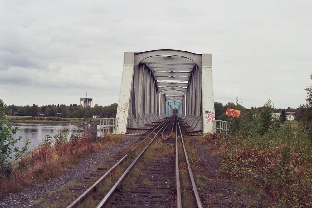
You don’t often change countries and time zones at the same moment. In Haparanda and Tornio, however, that’s exactly what can happen. These neighboring cities operate as one closely connected urban area despite sitting in different nations with different languages, currencies, and official time. Crossing town can literally mean adjusting your watch, making this one of the few places where geography quietly changes the rhythm of everyday life.
11. Laufenburg (Germany & Switzerland)
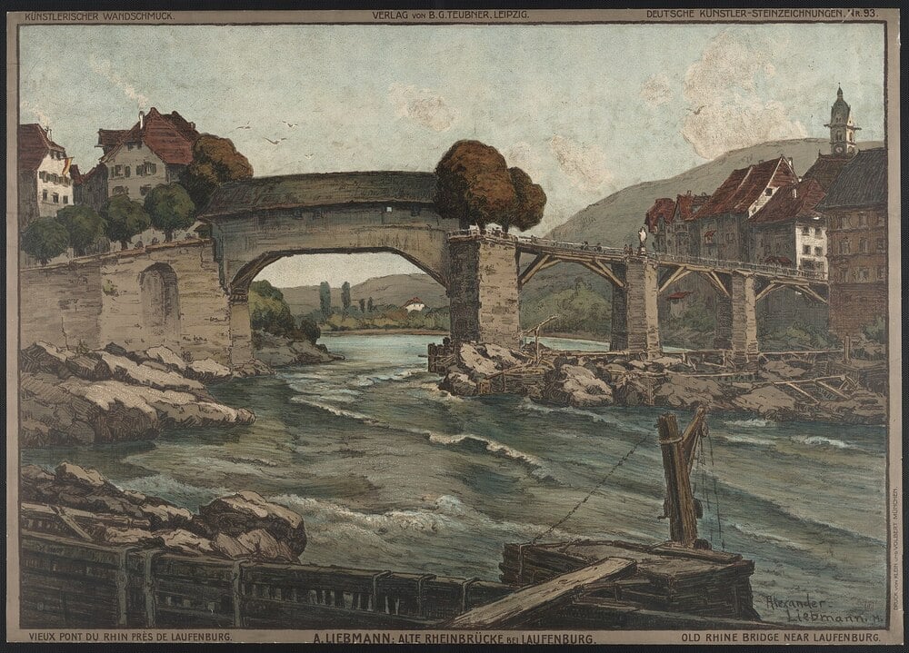
At first glance, it feels like one picturesque riverside town. Cobblestone streets, colorful buildings, and centuries of shared history make the Rhine seem almost secondary. Yet that river quietly divides Laufenburg into two separate municipalities, one in Germany and the other in Switzerland. Even the name stayed the same, reminding visitors that the border arrived long after the town itself had already taken shape.
12. Bad Radkersburg / Gornja Radgona (Austria & Slovenia)
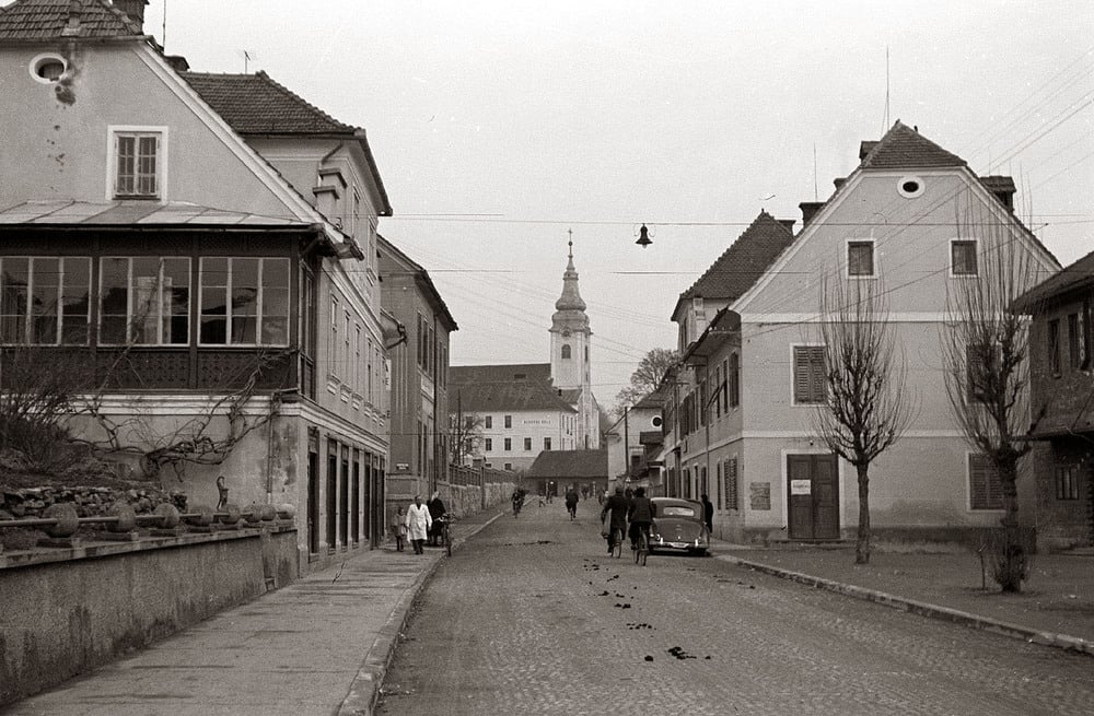
The people living here didn’t wake up one morning and decide to become citizens of different countries. Instead, history did it for them. When the Mura River became an international boundary, closely connected communities found themselves separated by a political line that hadn’t existed before. Today, bridges once again link both sides, but the river continues to mark the point where one nation ends, and another begins.
13. Narva / Ivangorod (Estonia & Russia)
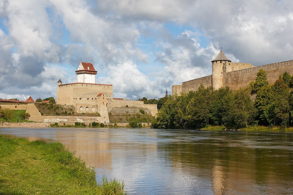
Few borders are watched as closely as this one. Two medieval fortresses stand face to face across the Narva River, almost as if they’ve spent centuries staring each other down. On one bank lies Estonia and the European Union; on the other stands Russia. The short stretch of water between them has become one of Europe’s most recognizable geopolitical frontiers, where history and modern international relations meet in dramatic fashion.
14. Kerkrade / Herzogenrath (Netherlands & Germany)
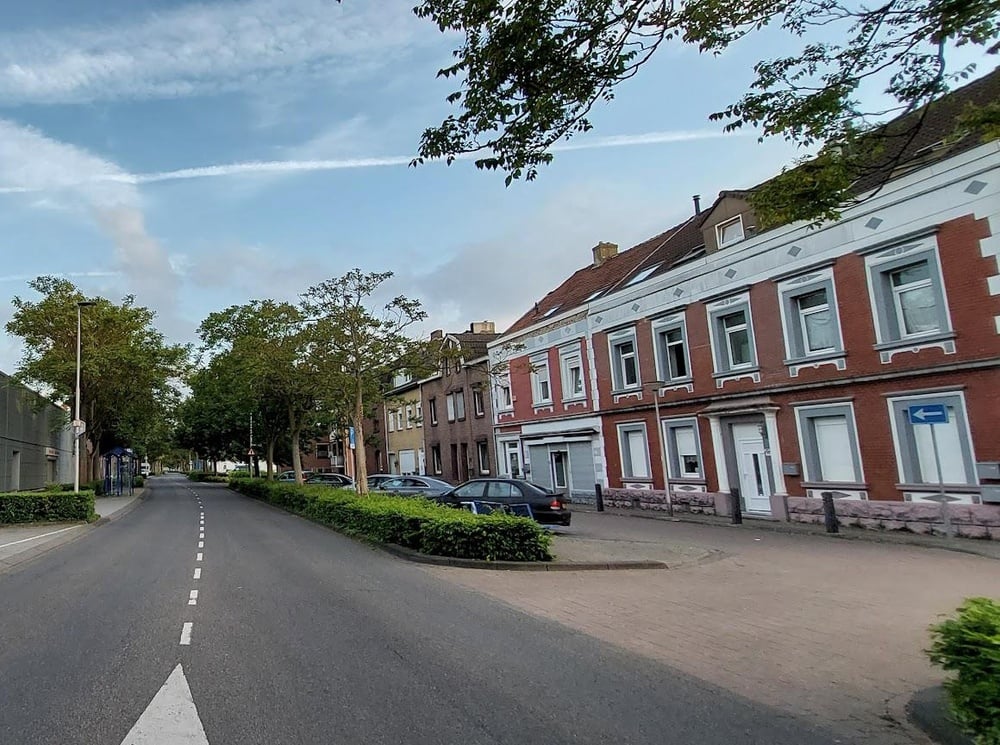
What happens when a suburb grows so naturally that nobody notices they’ve crossed into another country? That’s essentially the story of Kerkrade and Herzogenrath. The Dutch-German urban area is woven together so closely that residents often move, shop, and work across the border with little thought, even though different legal systems begin the moment you step across the boundary. Cooperation has become so important here that the region even markets itself under the shared name Eurode.
15. Beebe Plain (United States & Canada)
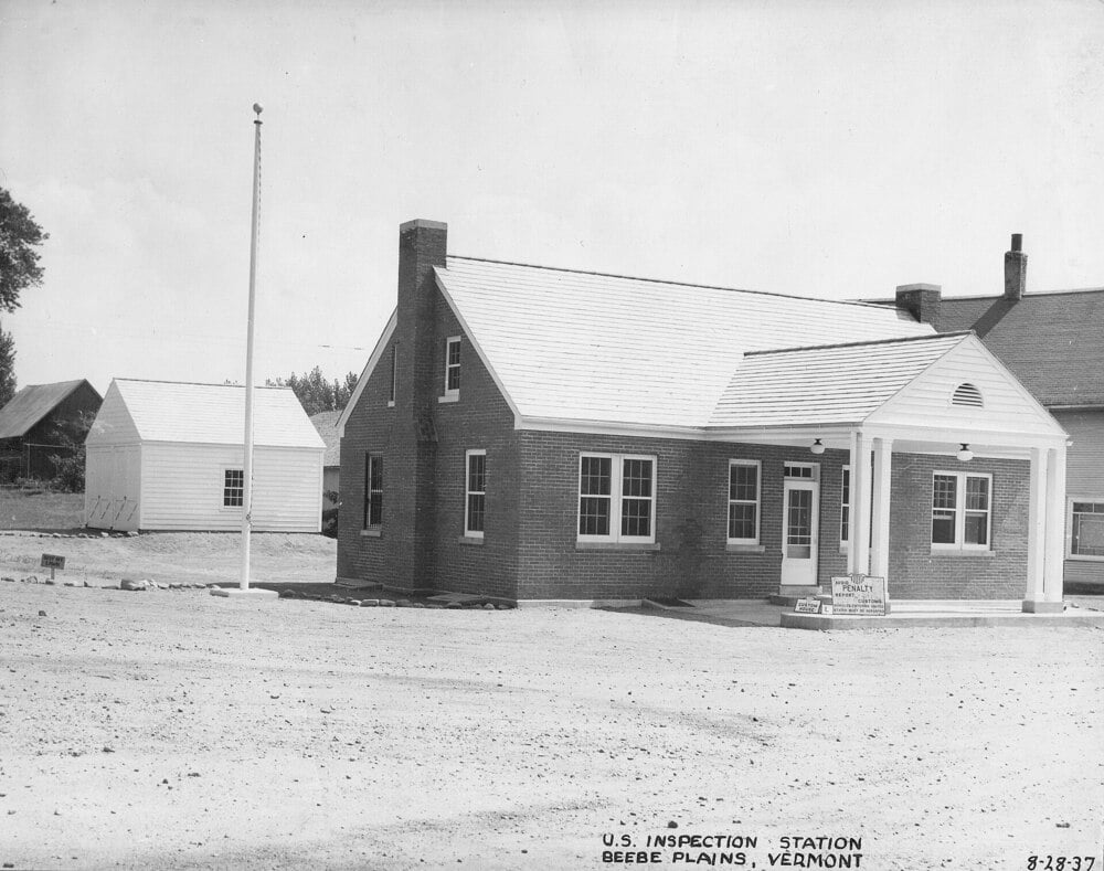
Most streets separate neighborhoods. Canusa Street separates countries. Running directly along the U.S.-Canada border, the road places one side in Vermont and the other in Quebec, allowing neighbors across the street to live under different governments. Its very name combines “Canada” and “USA,” making it one of the clearest examples of how an ordinary residential street can also serve as an international boundary.
16. Hotel Arbez Franco-Suisse (France & Switzerland)
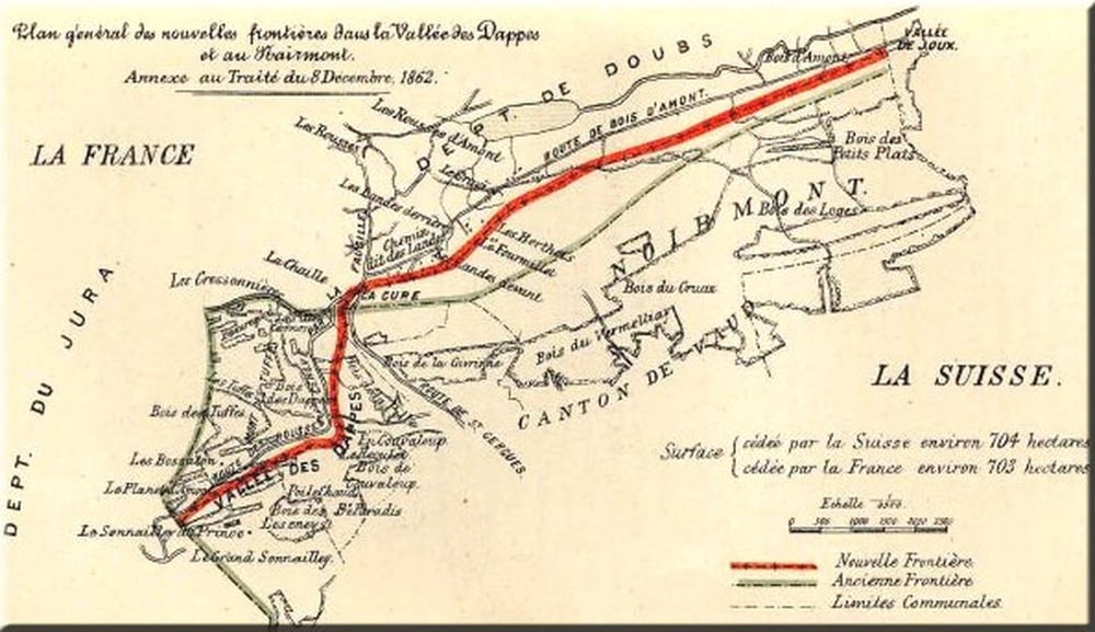
Check into one room, unpack your suitcase, and you could end up sleeping in two countries during the same night. The Hotel Arbez was deliberately built so the international border runs through the building itself, passing across hallways, dining areas, and several guest rooms. Rather than hiding this unusual layout, the hotel embraces it, giving visitors the rare chance to cross an international border without ever stepping outside.
17. Mount Everest (Nepal & China)
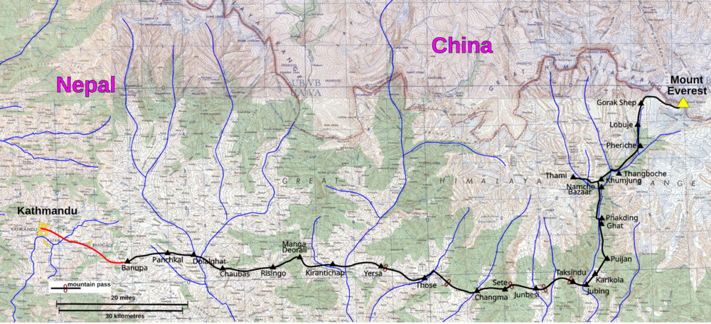
The world’s highest point isn’t owned by just one nation. The summit ridge of Mount Everest forms part of the international boundary between Nepal and China, meaning climbers reaching the top are also standing on a border. It’s an extraordinary reminder that political lines don’t stop at cities or rivers. Sometimes they continue all the way to the roof of the world.
18. Victoria Falls (Zambia & Zimbabwe)
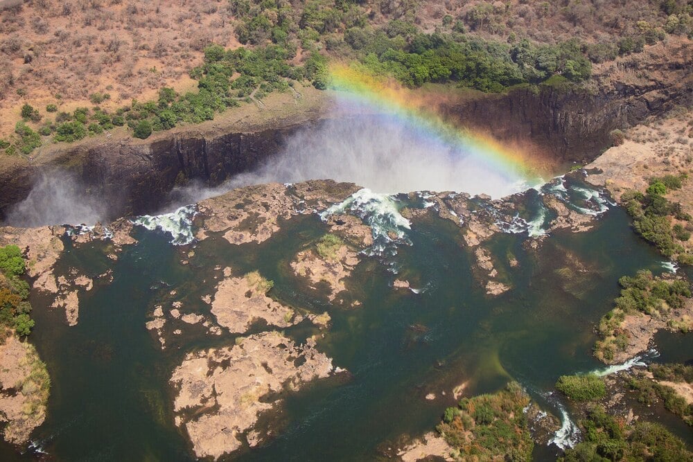
Millions of gallons of water thunder over the cliffs every minute, completely indifferent to the border running through them. The Zambezi River forms the international boundary between Zambia and Zimbabwe, allowing both countries to claim one of the planet’s greatest natural wonders. Visitors can experience Victoria Falls from either side, but each country offers different viewpoints, national parks, and perspectives on the very same waterfall. It may be one landmark, yet crossing a bridge is enough to transform the entire experience.
Borders often appear clean and simple on maps, but these places reveal a far more complicated reality. Streets, rivers, hotels, mountains, and even family homes can become the meeting point between different languages, laws, currencies, and cultures. In many cases, the border isn’t the destination. It’s simply another part of everyday life for the people who live there.
Keep Exploring The Scroller
Some of the world’s most fascinating destinations aren’t famous because of their size or beauty, but because they challenge the way we think about geography. Keep exploring The Scroller for more remarkable places, hidden histories, and unusual corners of the world where reality is often stranger than the map:
15 Places Around The World That Look Photoshopped, But Aren’t
25 Images Of Nature Reclaiming Abandoned Places
20 Incredible Places To Travel At Least Once In Your Lifetime