Ancient cities were much more than collections of temples, crowded streets, and impressive ruins. Thousands of years ago, people were already building drainage systems, managing water supplies, organizing residential neighborhoods, and connecting distant regions through trade. From enormous settlements in the Americas to carefully engineered cities in Asia and Africa, these 15 places reveal just how sophisticated ancient urban life could be. Some of their solutions might even make modern city planners take notes.
Mohenjo-daro Had an Urban Drainage System More Than 4,000 Years Ago
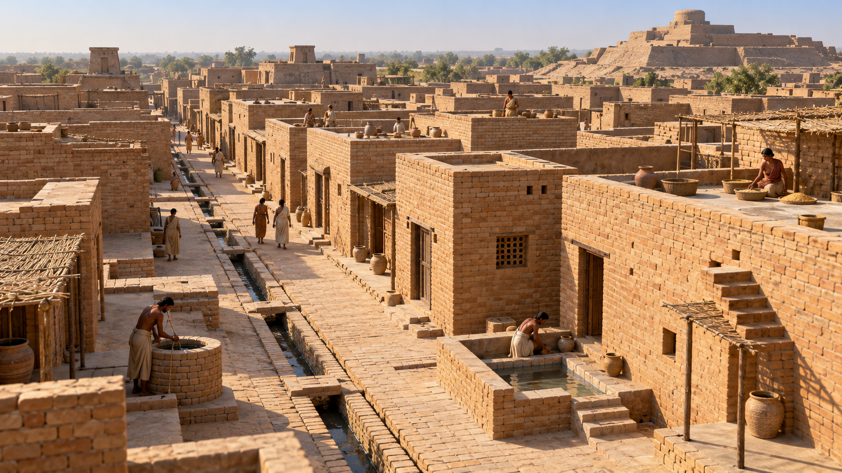
Long before modern sewer networks, Mohenjo-daro in present-day Pakistan had brick-lined drains, wells, bathing facilities, and orderly streets. Flourishing during the third millennium BCE, the Indus Valley city also featured soak pits designed to manage wastewater. Its residents clearly took sanitation seriously, even if they couldn’t have imagined a plumbing emergency involving a modern apartment building.
Caral Had Pyramids Thousands of Years Before the Inca Empire
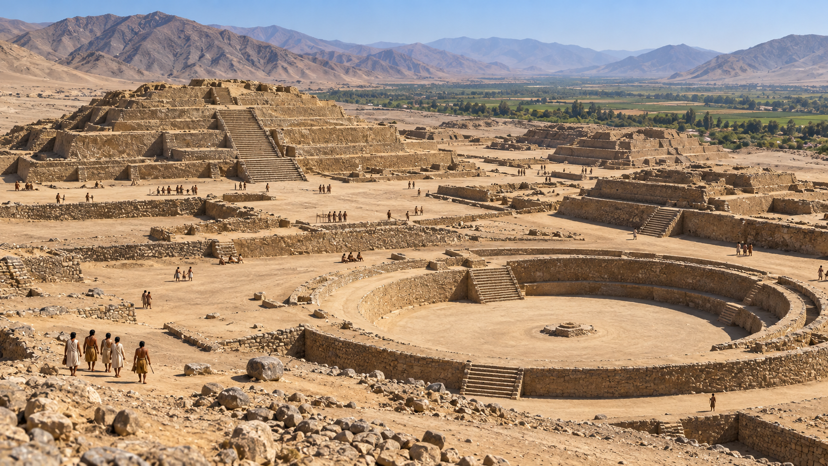
Around 3000 BCE, Peru’s Supe Valley was already home to Caral, a settlement featuring six major pyramidal structures and sunken circular plazas. The city developed for more than 4,000 years before the Inca Empire reached its height. Archaeologists also discovered a knotted-cord recording device at the site, suggesting that organizing information was important long before anyone had spreadsheets.
Angkor Was Far More Than a Collection of Temples
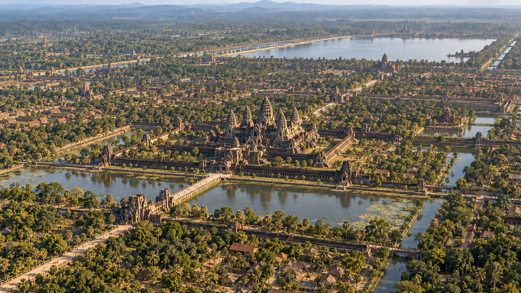
Angkor is famous for its temples, but the wider urban landscape of the Khmer Empire included settlements, roads, canals, embankments, and enormous reservoirs. The archaeological park covers roughly 400 square kilometers, preserving traces of interconnected capitals that flourished between the ninth and 15th centuries. Its water infrastructure helped manage dramatic seasonal rainfall, making it considerably more than a spectacular backdrop for vacation photos.
Teotihuacan Had Apartment Complexes Housing Thousands of Families
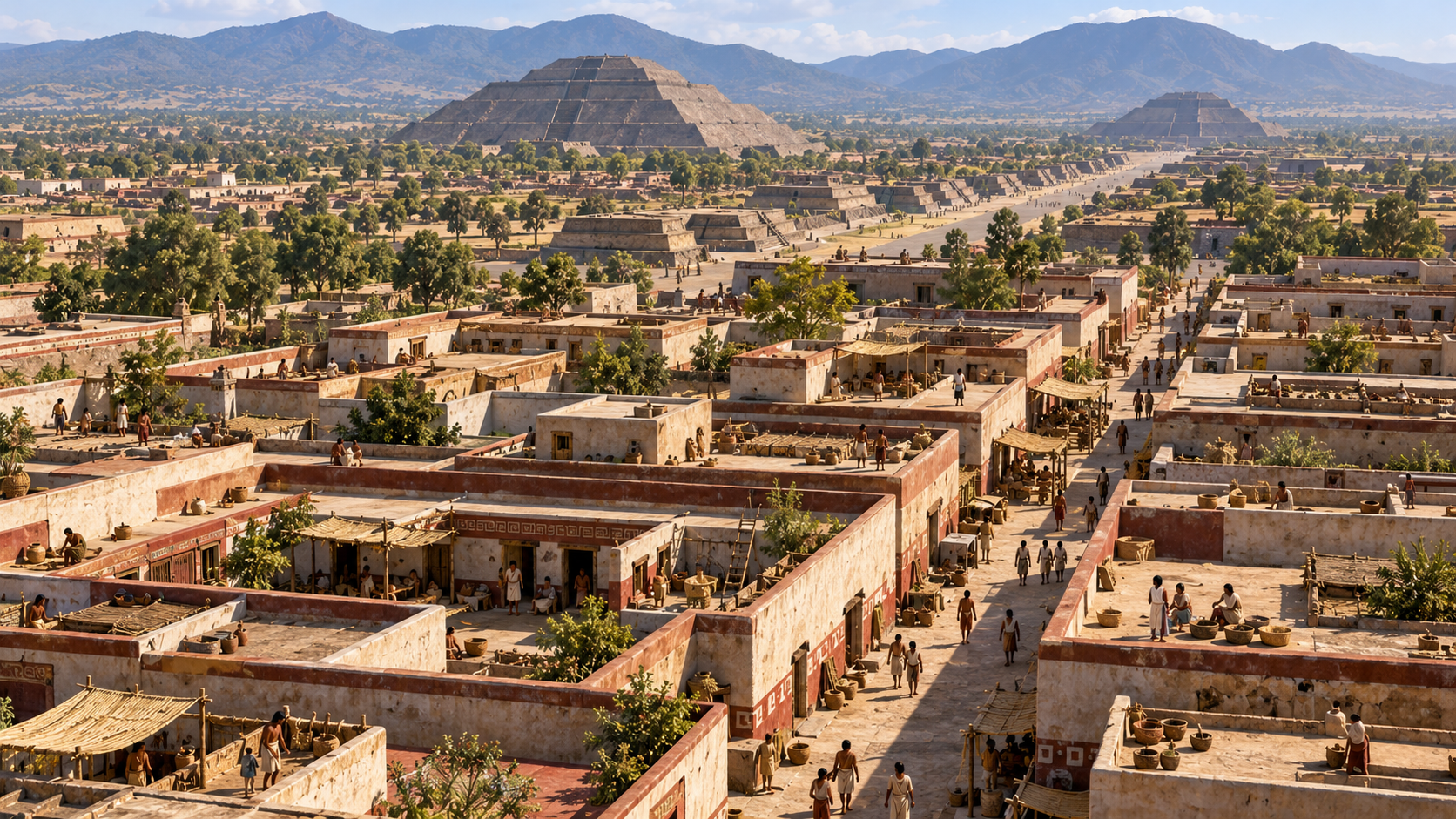
At its height, Teotihuacan in present-day Mexico may have supported around 100,000 residents. Archaeologists have mapped roughly 2,300 residential compounds, many accommodating multiple households around shared courtyards. The city’s enormous pyramids attract plenty of attention, but its organized neighborhoods are equally remarkable. Apparently, the challenge of finding decent housing in a large city is older than the modern real estate market.
Great Zimbabwe Was an African Trading Center Connected to China
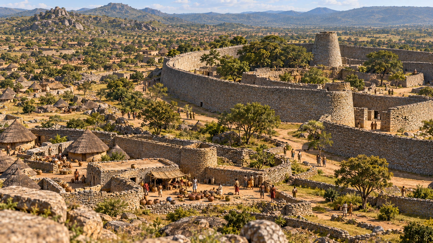
By the 14th century, Great Zimbabwe was the principal city of a powerful African state, with a population exceeding 10,000 according to UNESCO. Its residents built impressive granite walls without mortar, while archaeological finds include Chinese porcelain, Persian glass beads, and coins associated with East African trade. This inland commercial center had international connections long before global shipping became a familiar part of everyday life.
Trending on The Scroller


Chan Chan Was an Enormous City Built Primarily From Earth
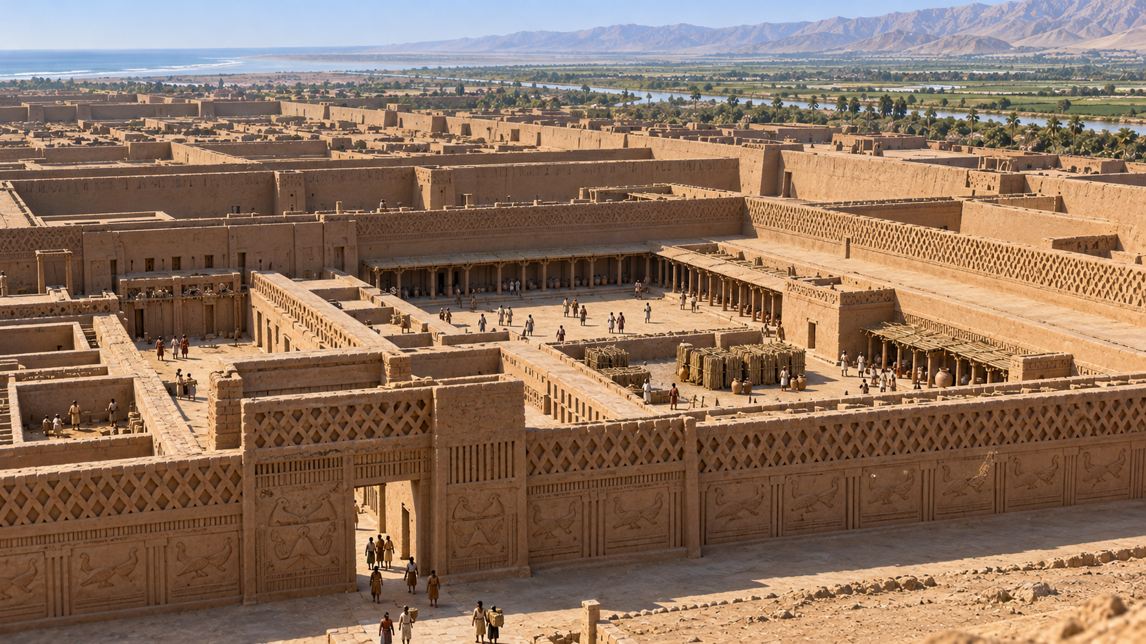
The capital of the Chimú kingdom in present-day Peru, Chan Chan covered approximately 20 square kilometers. Its monumental center contained nine large walled complexes with residences, workshops, storerooms, and reservoirs. An irrigation system included a canal network about 80 kilometers long, supporting life in a challenging coastal environment. The city’s construction proves that impressive urban engineering doesn’t always require stone skyscrapers.
Cahokia Mounds Rivaled Many European Cities in Population
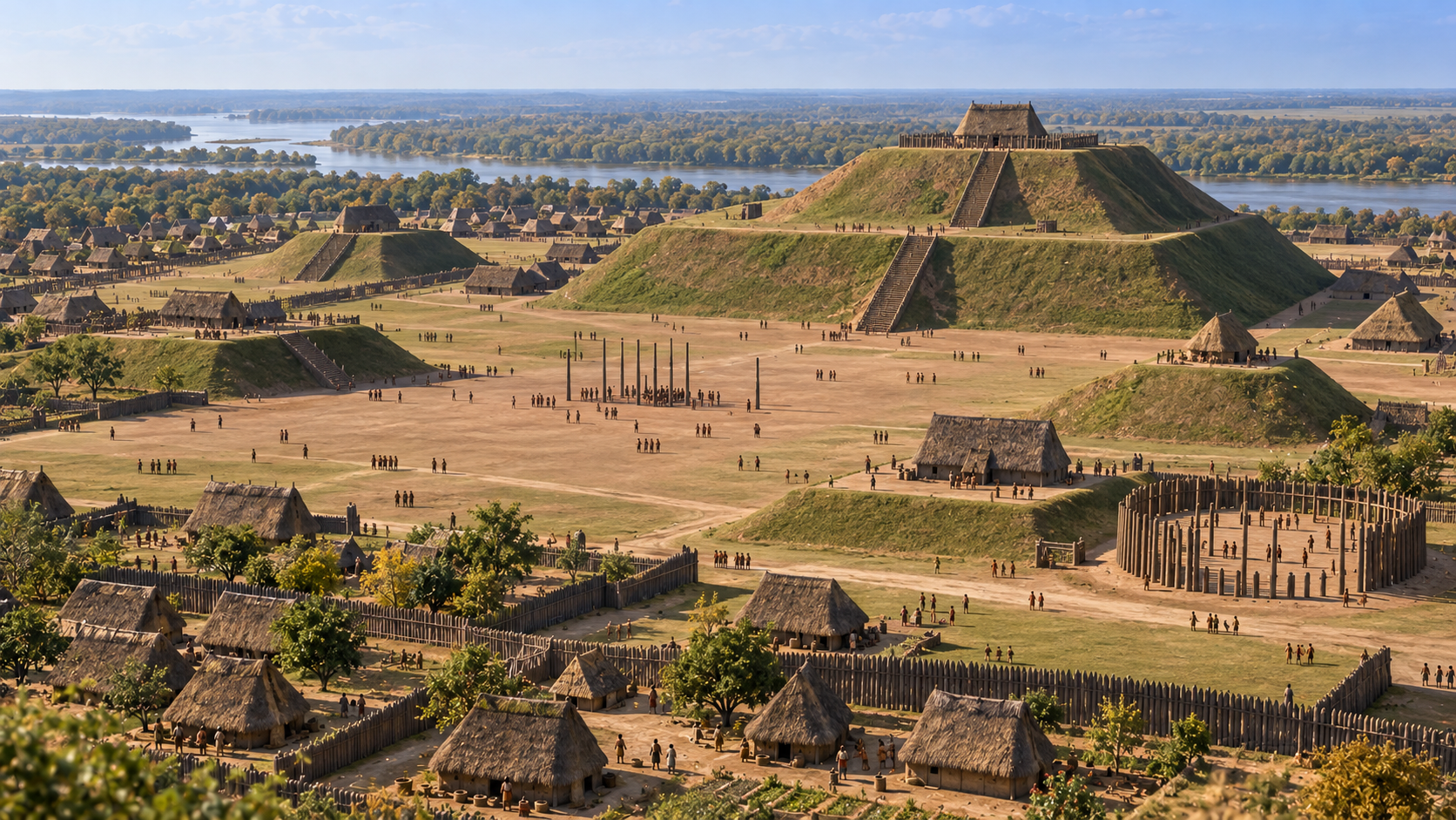
Near present-day St. Louis, Cahokia became the largest known pre-Columbian settlement north of Mexico, with an estimated 10,000 to 20,000 inhabitants between 1050 and 1150 CE. Its landscape included around 120 earthen mounds and a wooden-post astronomical observatory known as Woodhenge. Monks Mound still rises about 100 feet above the surrounding terrain, built without bulldozers, cranes, or a construction equipment rental service.
Tiwanaku Had Underground Drainage at Nearly 13,000 Feet
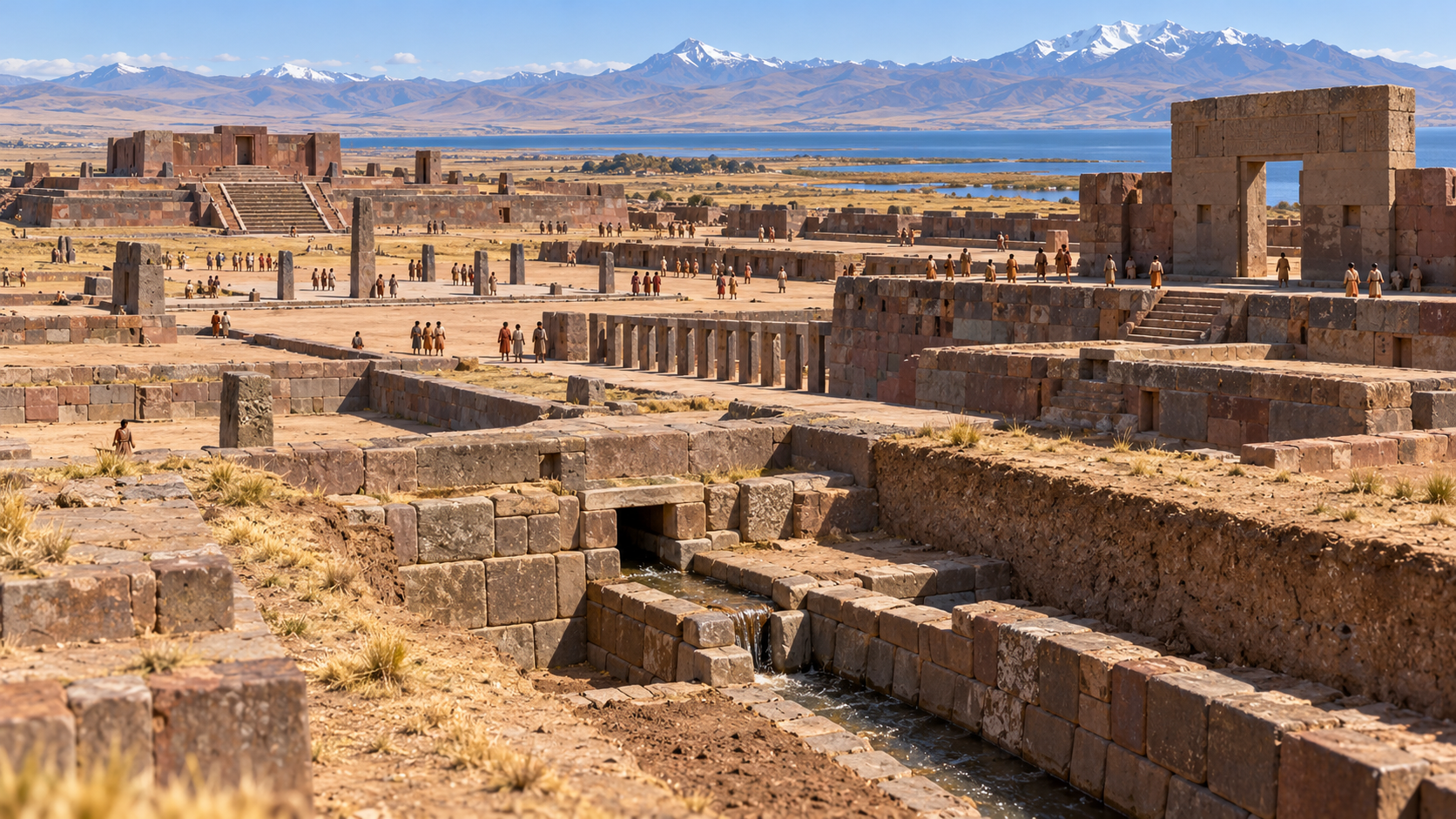
Located about 3,850 meters above sea level near Lake Titicaca, Tiwanaku flourished as a planned city between roughly 400 and 900 CE. Its precisely worked stone buildings and ceremonial spaces were supported by an underground drainage network that controlled rainwater around major structures. Managing urban infrastructure at that altitude was no small achievement, especially when even taking a deep breath can feel like extra work.
Sign up for our newsletter
Hattusha Was Protected by More Than Five Miles of City Walls
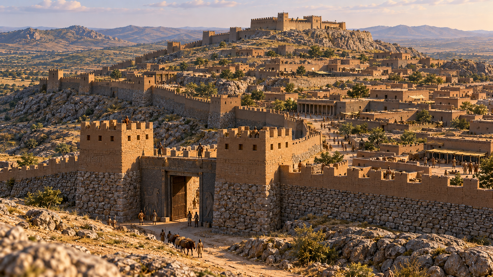
Hattusha, the capital of the Hittite Empire in modern-day Turkey, had more than eight kilometers of monumental fortifications during the second millennium BCE. Its defenses included a double wall with over 100 towers, ceremonial gates, and a stone-lined tunnel beneath an artificial bastion. Royal residences, trading districts, and temples filled the city, making it an imperial center that took security rather seriously.
Petra Made a Desert City Possible With Sophisticated Water Engineering
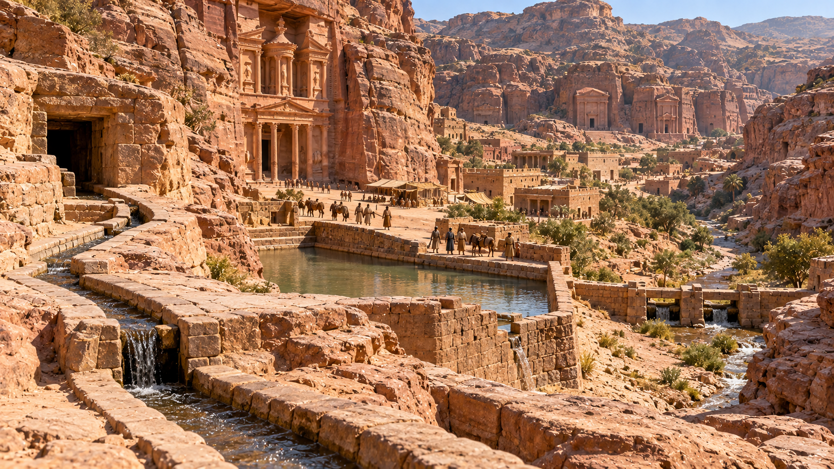
Petra’s rose-colored cliffside buildings are famous, but its water systems were just as impressive. The Nabataeans developed channels, cisterns, reservoirs, and diversion dams to collect scarce rainfall and help protect the settlement from flash floods. These innovations supported Petra’s role as a commercial hub linking Arabia, Egypt, and the Mediterranean world. In a place with limited rainfall, water management wasn’t an optional home improvement project.
Tikal Supported a Complex City in the Middle of a Rainforest
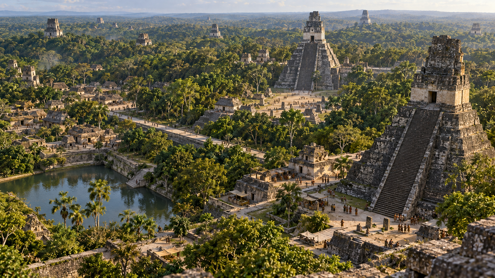
Tikal in present-day Guatemala was much more than a handful of temples rising above the jungle. Its monumental center covered around 400 hectares, while a wider archaeological zone of approximately 1,200 hectares included residential areas and water reservoirs. Archaeologists have also documented roads, agricultural land, defensive checkpoints, and links to distant Maya cities. The rainforest may dominate the view today, but it wasn’t the city’s only defining feature.
Taxila Rebuilt Its Urban Landscape Under Different Civilizations
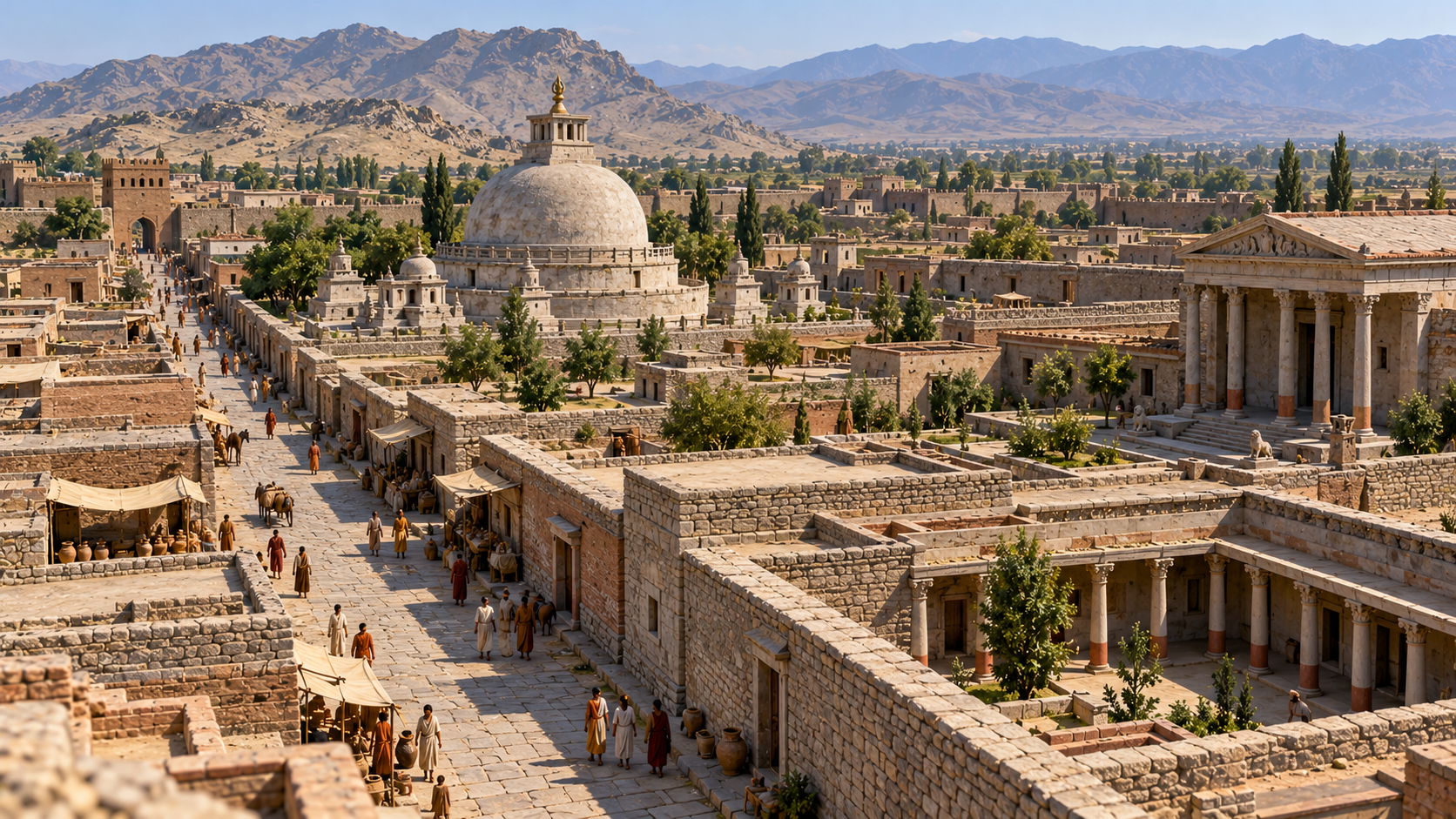
Taxila in present-day Pakistan preserves several successive settlements, reflecting centuries of changing urban design and cultural influence. Sirkap, established during the second century BCE, featured a Hellenistic-style street grid, houses, temples, and Buddhist stupas. The wider region also became an important Buddhist learning center, influenced by Persia, Greece, Central Asia, and the Indian subcontinent. Its history reads like a crossroads that never stopped welcoming new ideas.
Dholavira Turned Rainwater Collection Into a Major Urban System
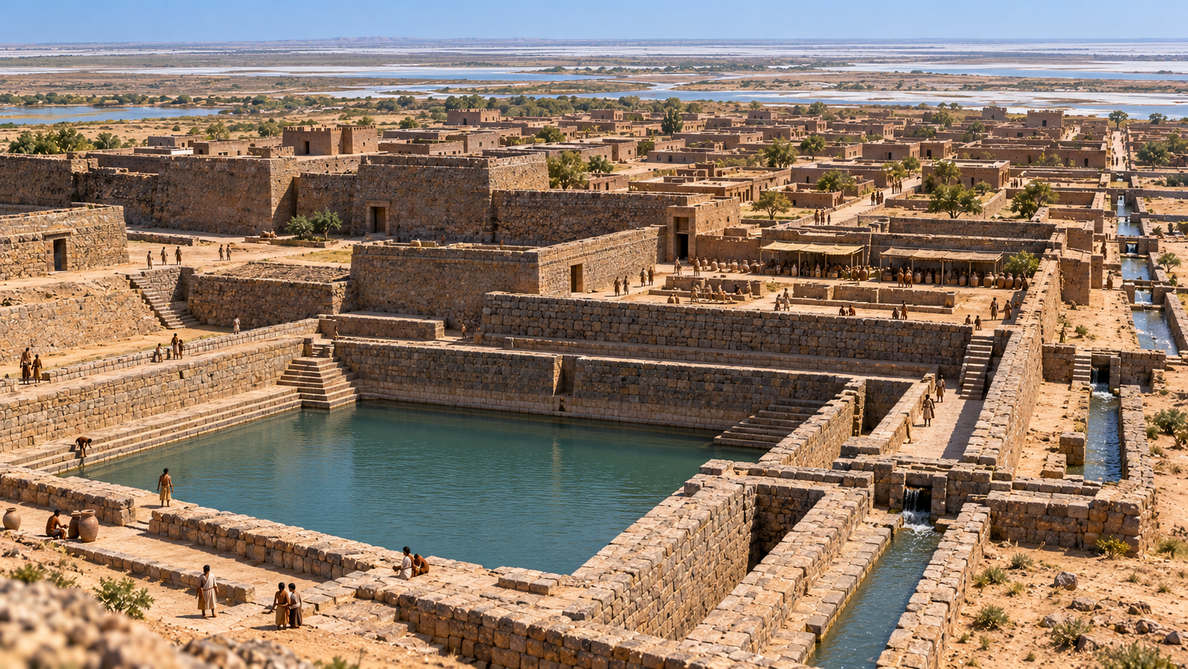
Dholavira, an Indus civilization city occupied between approximately 3000 and 1500 BCE, developed extensive reservoirs, channels, and drainage systems to survive in an arid environment. Its separated residential districts, massive fortifications, and trade connections with Mesopotamia and Oman reveal a sophisticated commercial center. When seasonal water was essential for survival, the city couldn’t afford to treat rainfall as something that simply disappeared down the street.
Uruk Was an Early Megacity With the Beginnings of Written Administration
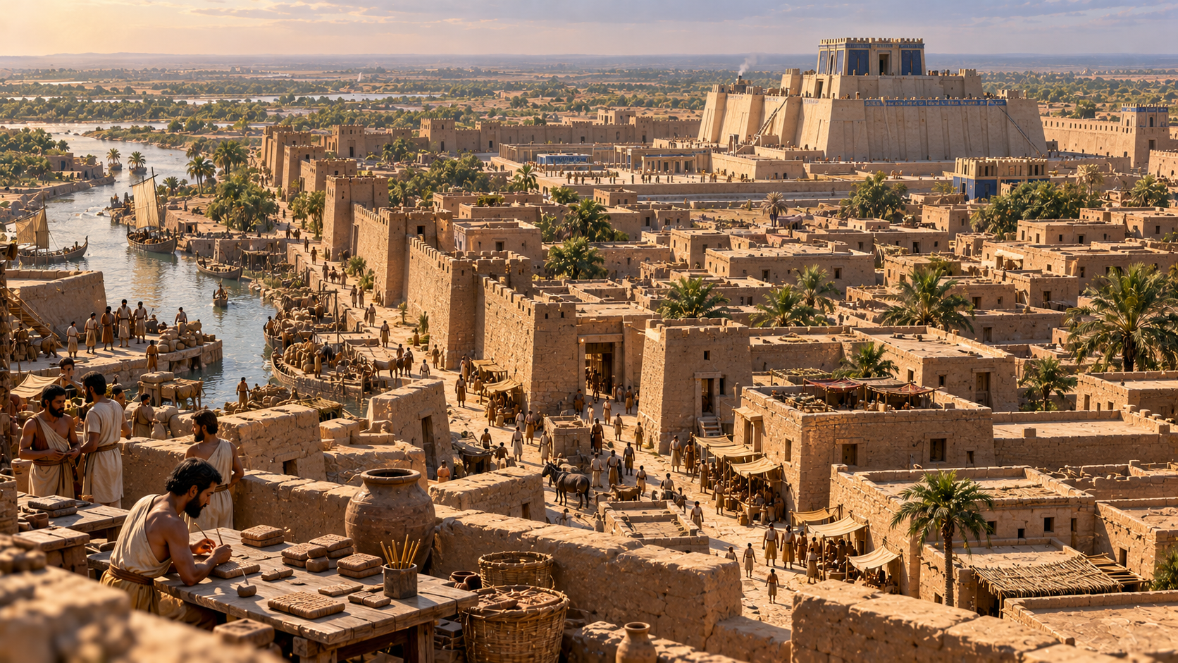
By around 3200 BCE, Uruk in southern Mesopotamia had become one of the world’s largest settlements, with an estimated population of 40,000 to 50,000. Administrators used pictographic marks on clay tablets to track goods and workers’ rations, helping lay the foundations for later cuneiform writing. The city also featured monumental buildings, extensive walls, and waterways. Even ancient megacities needed paperwork to keep things running.
Anuradhapura Used Enormous Artificial Lakes to Sustain Its Population
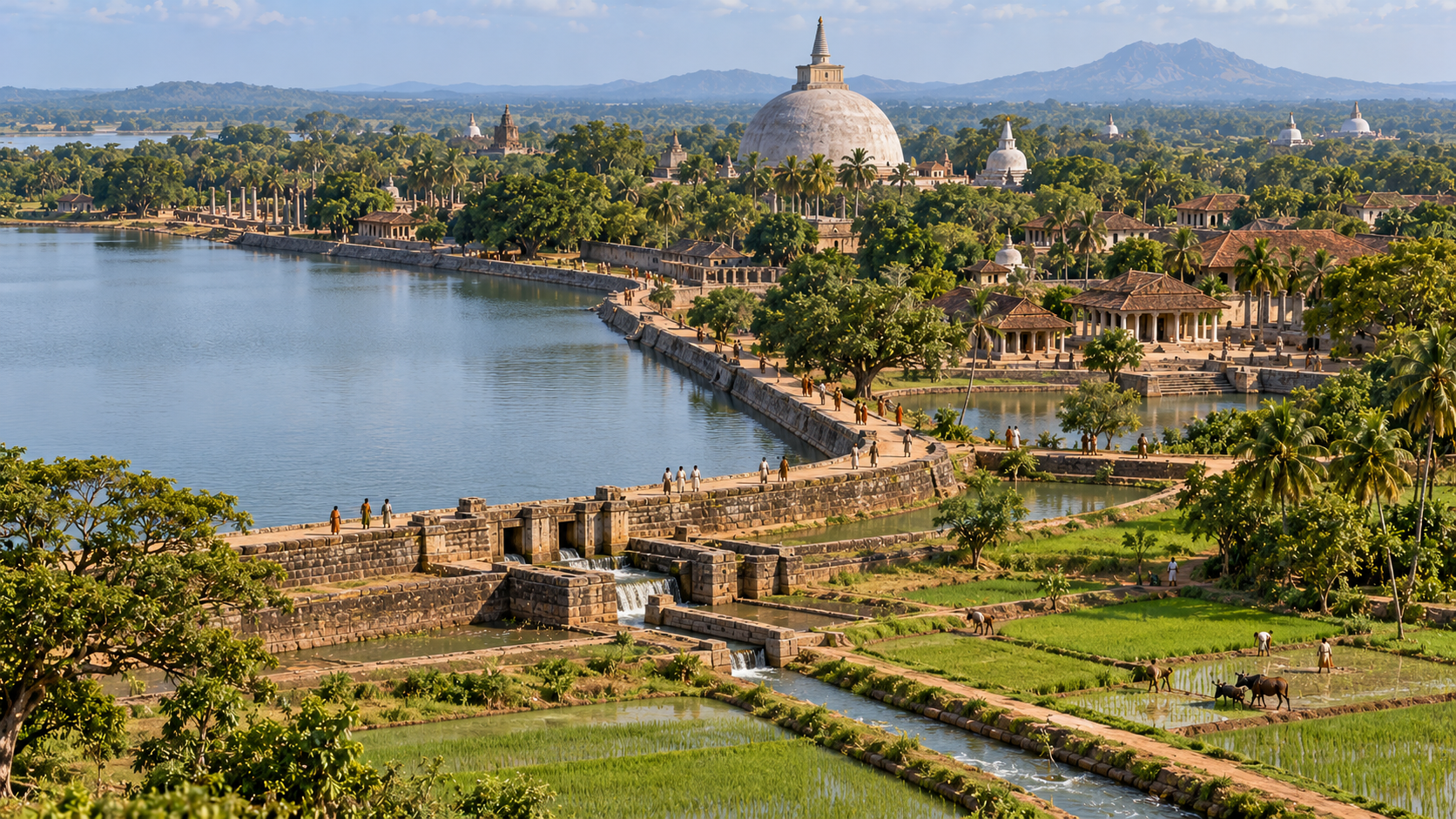
Anuradhapura served as a major political and religious capital in Sri Lanka for approximately 1,300 years. Four major artificial reservoirs supplied water to residents and monasteries while irrigating the rice fields that helped feed the population. One early reservoir, Abhayawewa, may date to the fourth century BCE. The city’s long history shows how essential water infrastructure was to urban survival, even before modern reservoirs became engineering landmarks.