
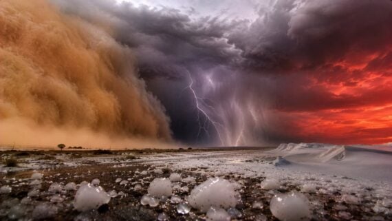
Weather can produce scenes that seem almost impossible. Snowballs form on their own, enormous walls of dust swallow cities, and wildfires generate winds powerful enough to rival tornadoes. Some of these events sound like exaggerated stories, but meteorologists have documented them through photographs, weather stations, radar, and satellite observations. These 15 real examples show just how strange the atmosphere can become when temperature, moisture, wind, and geography combine under extraordinary conditions.
The Year Without a Summer Brought Snow in June
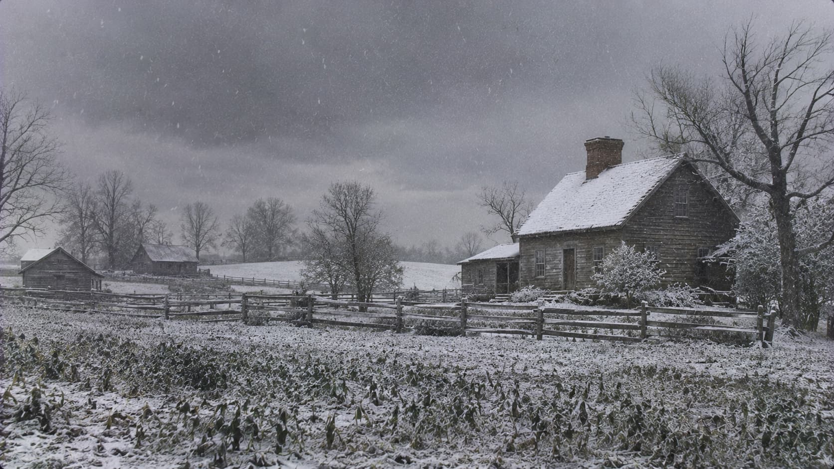
In 1816, parts of New England experienced freezing temperatures and snowfall during months that should have been warm. The National Park Service notes that heavy snow fell in early June in Albany, New York, and Dennysville, Maine, while frosts damaged crops. Mount Tambora’s 1815 eruption sent sunlight-reflecting aerosols into the atmosphere, cooling regions far beyond North America. Summer apparently missed the memory.
Ohio’s Wind Created Hundreds of Natural Snowballs
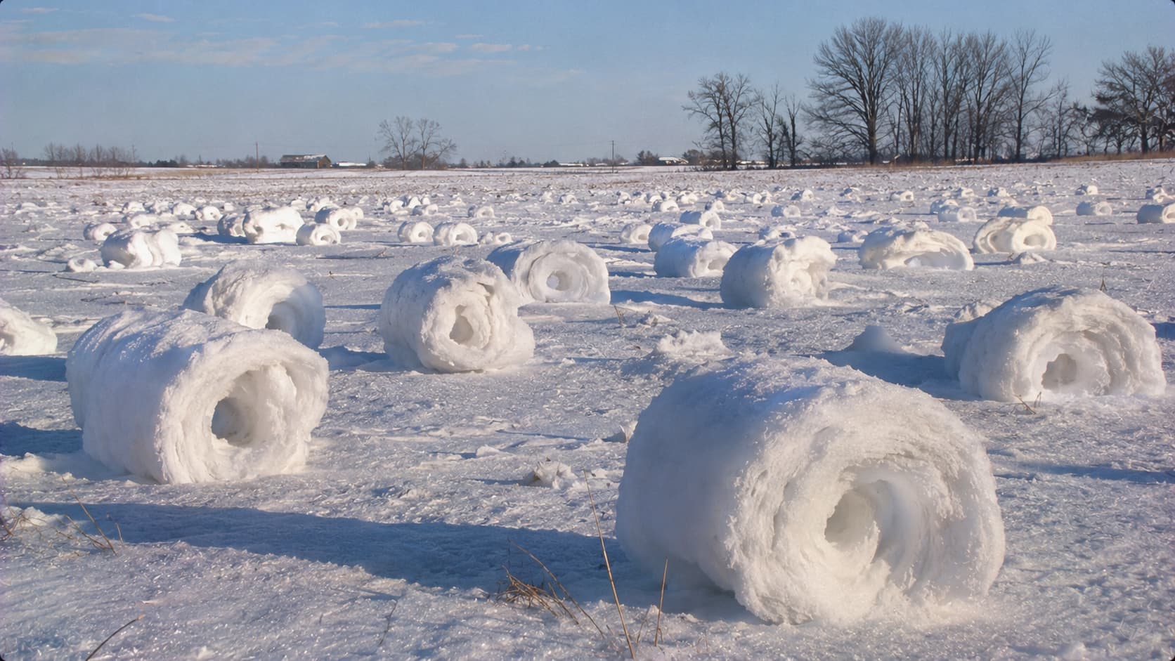
On January 27, 2014, northern Ohio residents discovered strange rolls of snow scattered across fields. The NWS explains that these snow rollers formed when fresh snow moved over a harder, refrozen surface. Winds of 20 to 25 mph, with gusts reaching 40 to 60 mph, curled the snow into hollow cylinders. No snowball fight required; nature handled the rolling.
Mysterious Pillars of Light Appeared Above Ohio Streetlights
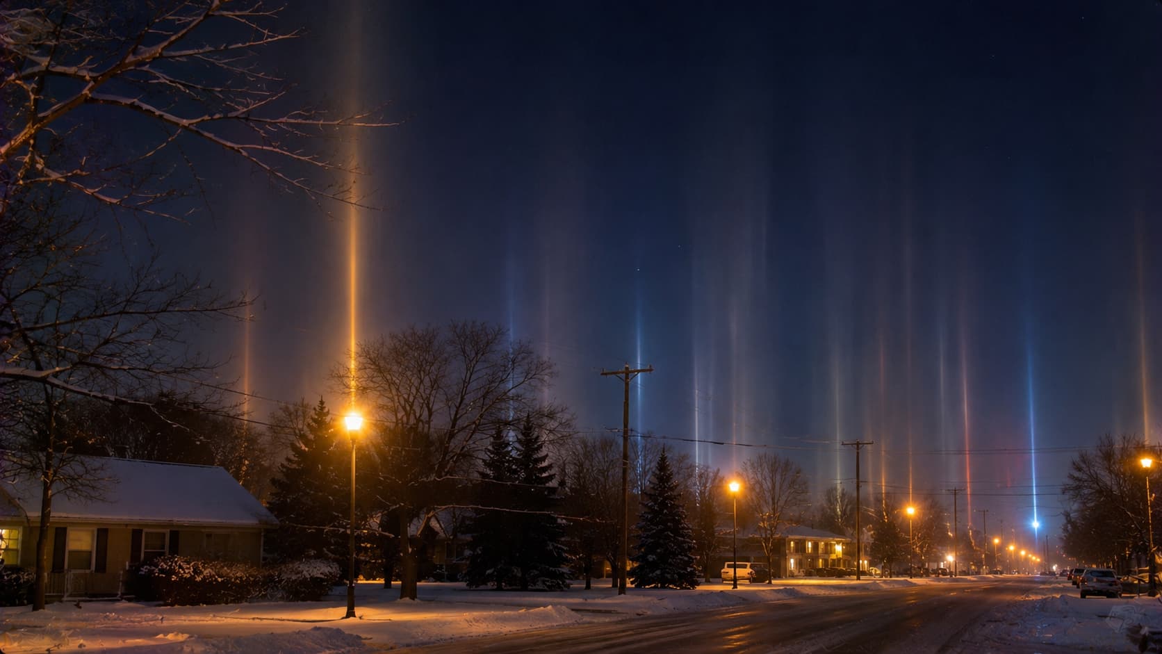
On January 21, 2014, people across northern Ohio saw glowing columns stretching above ordinary lights. The NWS documented these light pillars, formed when light reflected off tiny, flat ice crystals suspended in cold air. Low temperatures, high humidity, and calm winds helped create the effect. The sky looked like it had installed its own streetlights
South Dakota Recorded an Eight-Inch Hailstone
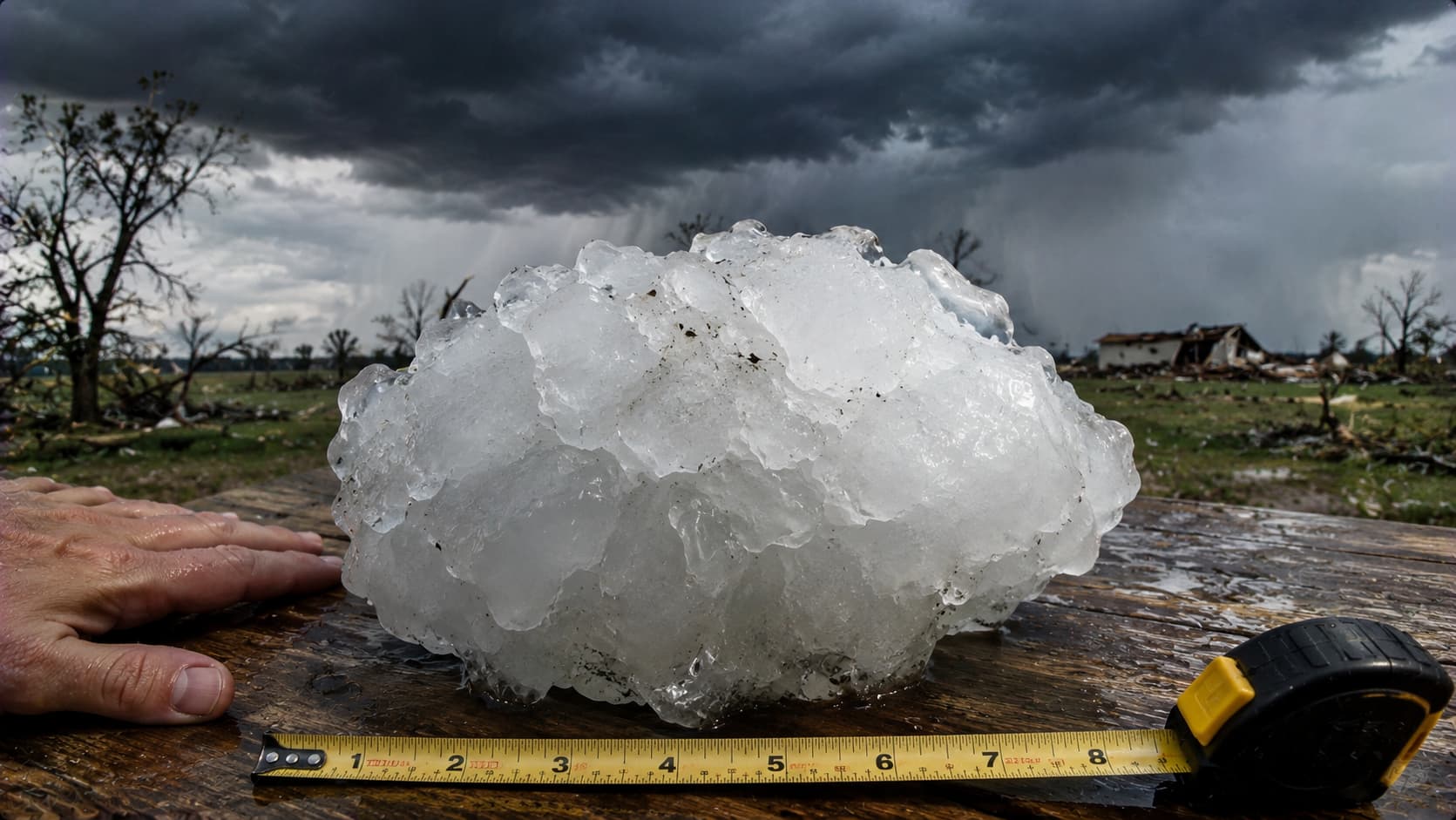
On July 23, 2010, a supercell near Vivian, South Dakota, produced a hailstone measuring eight inches across and weighing 1.9375 pounds. NWS personnel measured it after some melting had already occurred. It broke U.S. records for documented hailstone diameter and weight. The same storm brought winds around 80 mph and a brief tornado; apparently, one weather disaster wasn’t enough.
Phoenix Was Swallowed by a Dust Wall Nearly 6,000 Feet High
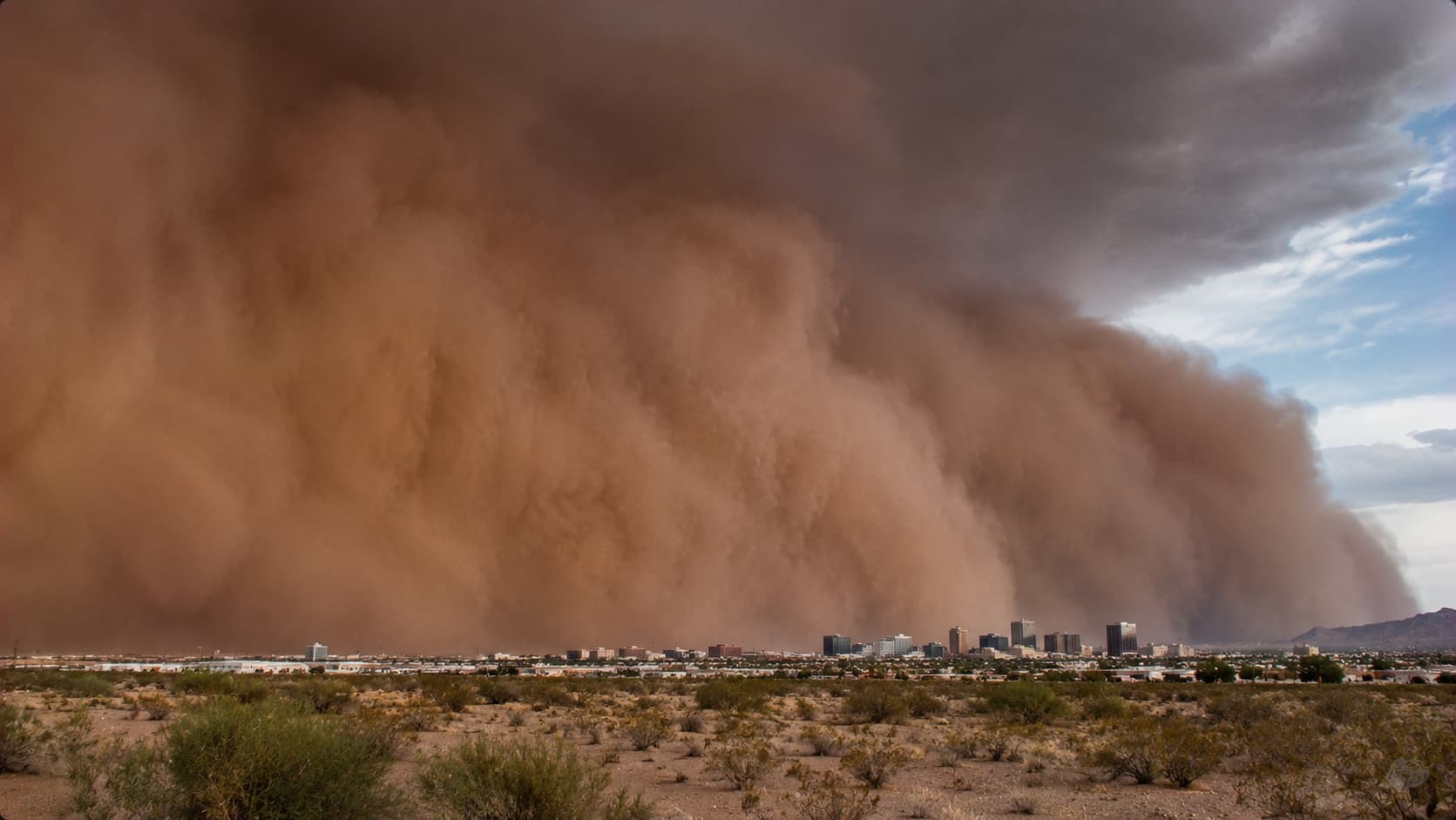
On July 5, 2011, a massive haboob engulfed the Phoenix metropolitan area. NWS radar estimates placed the dust storm’s peak height at 5,000 to 6,000 feet, with a leading edge nearly 100 miles long. Thunderstorm winds lifted dry desert soil into the air, reducing visibility close to zero in some places. Even the airport had to pause operations; the city’s dust-up was no minor inconvenience.
Trending on The Scroller


A California Wildfire Generated EF3-Level Winds
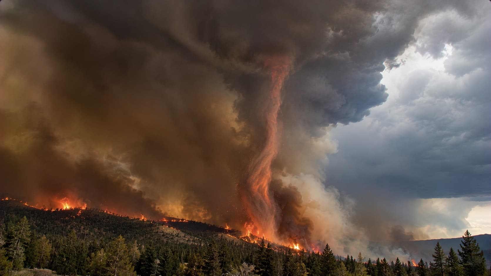
During the Carr Fire near Redding, California, on July 26, 2018, a violent rotating air column developed along the fire’s perimeter. NOAA researchers found that the vortex intensified as a fire-generated thunderstorm cloud rapidly grew overhead. The NWS estimated surface winds exceeding 143 mph, comparable to an EF3 tornado. It was a wildfire creating its own extreme weather, an alarming case of the flames fighting back.
Iowa’s Derecho Produced Winds Stronger Than Many Hurricanes
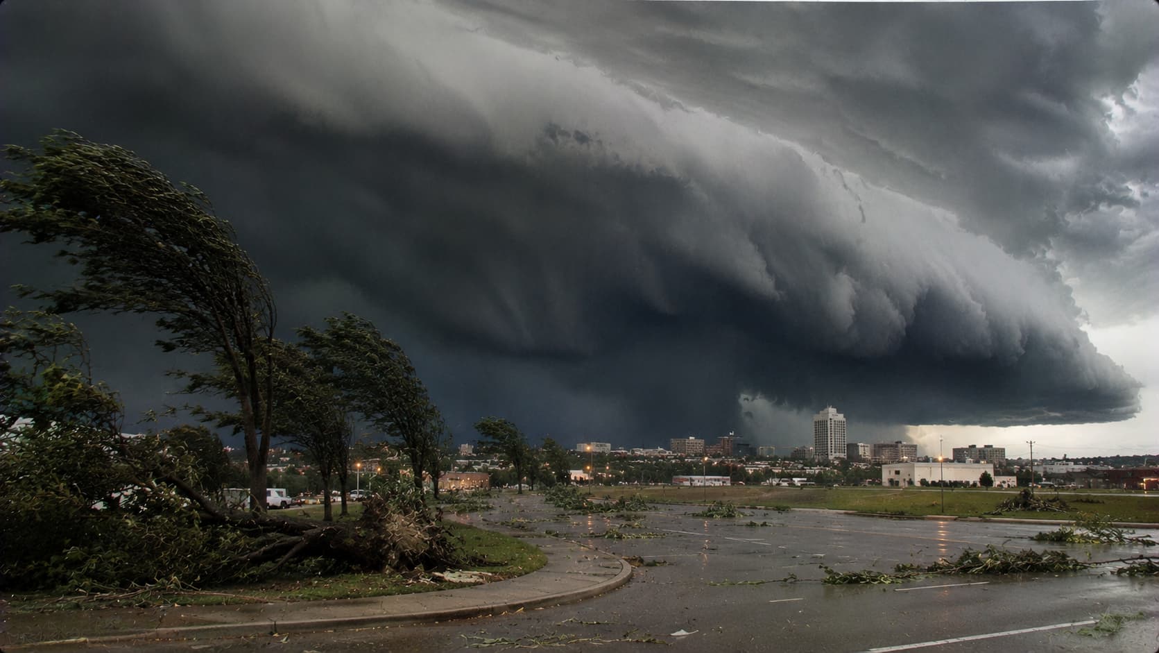
On August 10, 2020, a powerful derecho swept across the American Midwest, producing destructive straight-line winds across more than 90,000 square miles. The NWS estimated winds exceeding 140 mph around Cedar Rapids, Iowa. Damage reached approximately $11.5 billion, and at least one million customers lost electricity. Unlike a tornado, this storm spread its destruction across a vast corridor; no single funnel was needed.
A Month’s Worth of Rain Fell on Boscastle in Two Hours
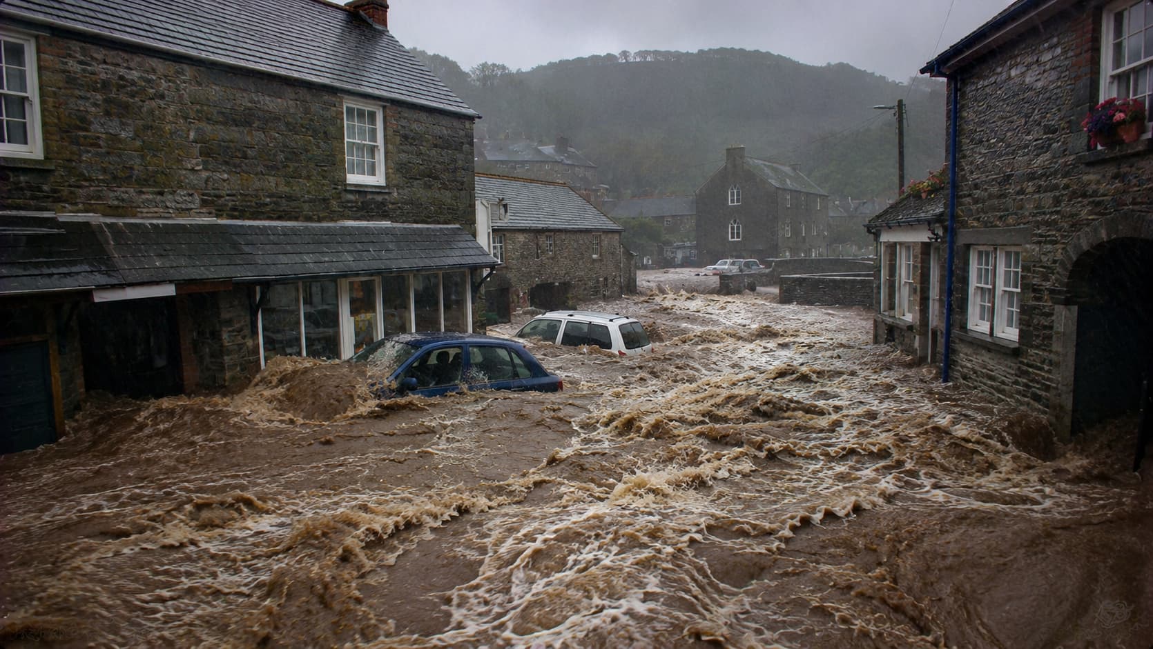
On August 16, 2004, intense thunderstorms caused catastrophic flash flooding in Boscastle, England. The Met Office reported approximately 75 millimeters of rain in just two hours, roughly the village’s usual August rainfall. An estimated two billion liters of water rushed through the village, sweeping away vehicles and damaging buildings. Remarkably, nobody died, thanks in large part to helicopter-assisted rescues. The rain certainly didn’t believe in moderation.
Sign up for our newsletter
Nearly Seven Feet of Snow Buried Areas Near Buffalo
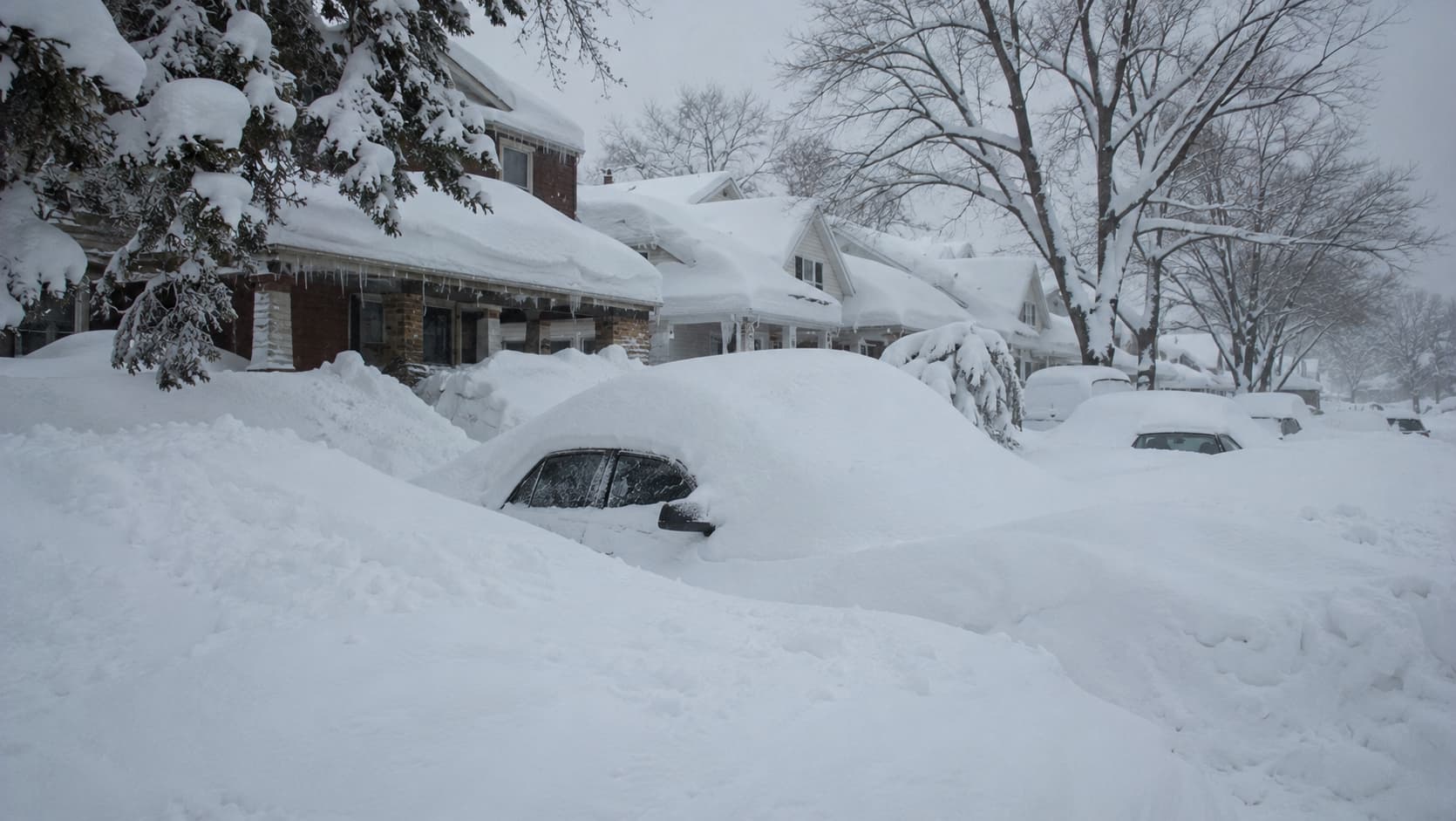
In November 2014, a lake-effect snowstorm buried communities south and east of Buffalo, New York. The NWS recorded 65 inches in South Cheektowaga from November 17 to 19, while Buffalo’s airport received only 6.2 inches. A second snowfall pushed totals close to seven feet in some locations. Nearby neighborhoods got widely different amounts, a reminder that lake-effect snow has a very particular address book.
The Sun Turned Red Across the United Kingdom
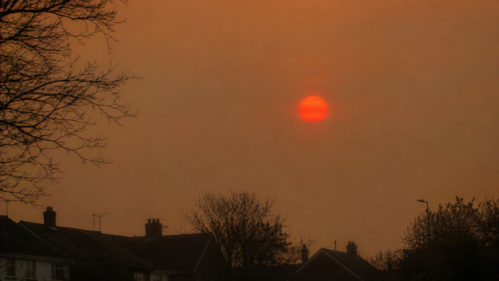
On October 16, 2017, people across parts of the UK saw a deep red Sun beneath a yellowish sky. The Met Office explained that the remnants of Hurricane Ophelia carried Saharan dust and wildfire smoke from Portugal and Spain northward. These particles altered the sunlight reaching the ground, while satellite imagery confirmed their presence. The sky’s unusual filter was natural, and certainly not a standard British forecast.
The UK’s Temperature Exceeded 104°F for the First Time
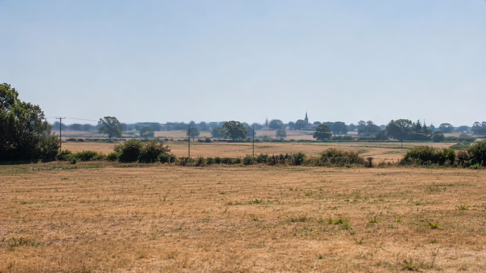
On July 19, 2022, the United Kingdom recorded temperatures above 40°C for the first time in its official weather history. Coningsby, Lincolnshire, reached 40.3°C, or approximately 104.5°F, surpassing the previous national record by 1.6°C. The Met Office verified the measurement after reviewing station conditions and equipment performance. Scotland and Wales also set national records. British weather, famous for its modesty, went decidedly over the top.
Tonga’s Eruption Sent a Pressure Wave Around Earth Three Times
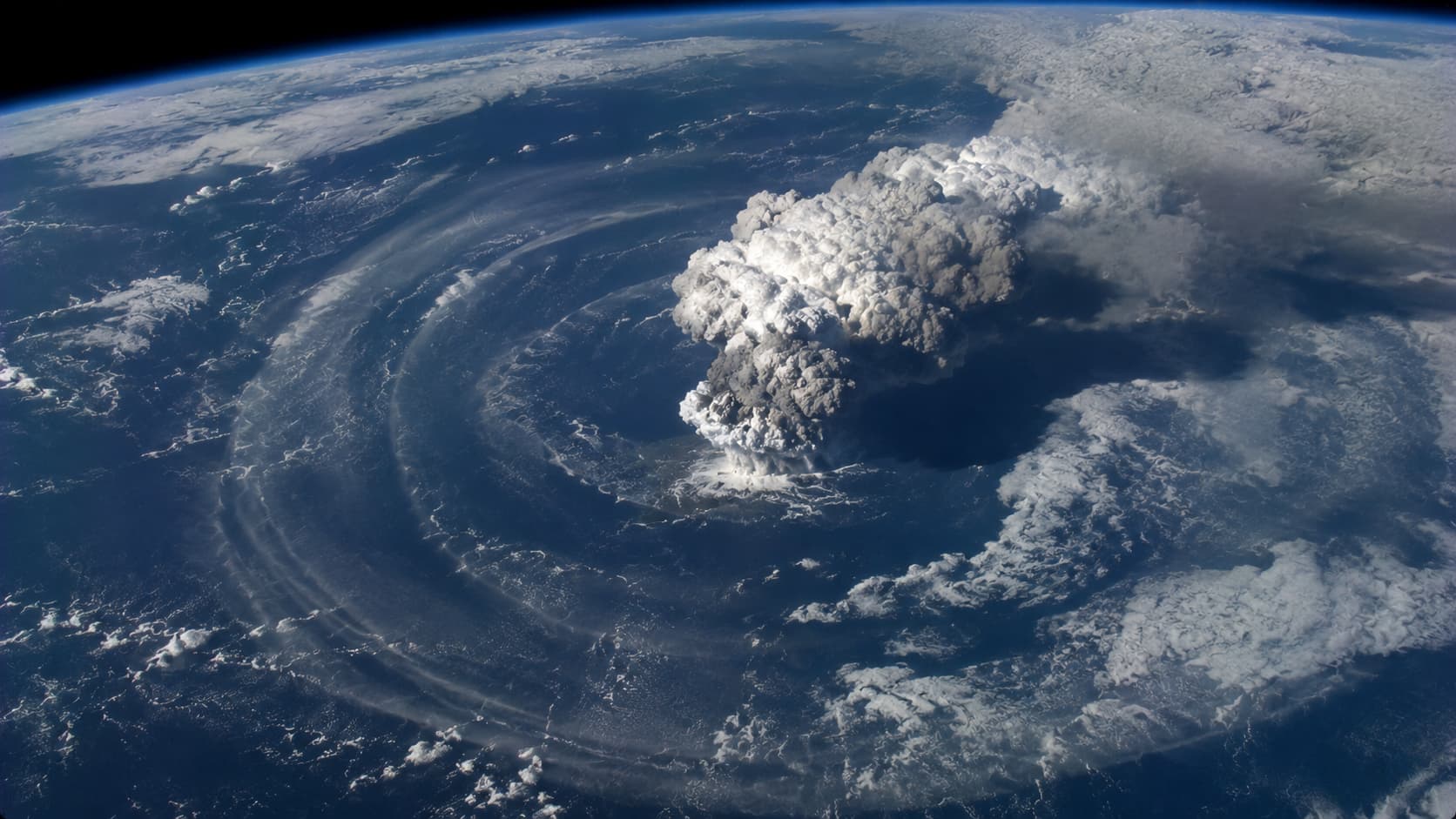
On January 15, 2022, the Hunga Tonga-Hunga Ha’apai volcano erupted with extraordinary force in the South Pacific. NOAA instruments detected a pressure wave traveling around the world at approximately 697 mph, circling Earth three times before dissipating. Satellites captured enormous rings spreading outward from the eruption. The event gave scientists a rare chance to study atmospheric disturbances on a planetary scale, an eruption with truly global reach.
An Early South Dakota Blizzard Killed Thousands of Cattle
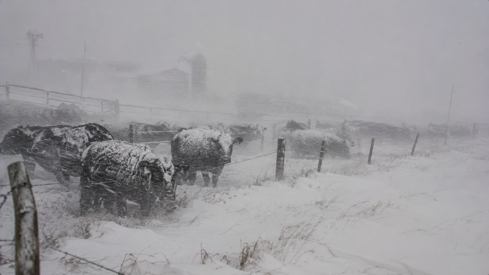
An unusually early blizzard struck western South Dakota from October 3 to 5, 2013, bringing heavy snow and powerful winds. The NWS documented thousands of cattle and other livestock deaths. Many animals were still grazing in summer pastures without full winter coats; rain soaked them before temperatures plunged, and snow arrived. The storm was devastating for ranchers, and autumn had arrived with brutal timing.
Arctic Air Kept Waco Below Freezing for More Than Eight Days
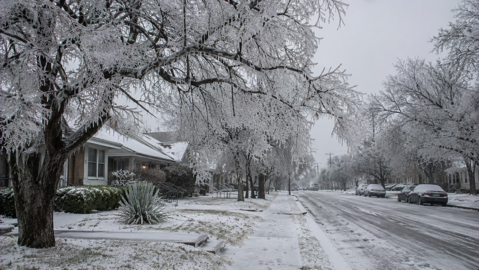
In February 2021, Arctic air pushed into the southern United States, bringing snow, ice, and prolonged freezing temperatures. The NWS reported that Waco remained at or below freezing for 205 consecutive hours, while Dallas-Fort Worth hit minus 2°F on February 16. The cold contributed to widespread failures across Texas’s electrical infrastructure. A state built for heat suddenly found itself struggling with a very different forecast.
A Tropical Storm Brought Extraordinary Rain to California’s Desert
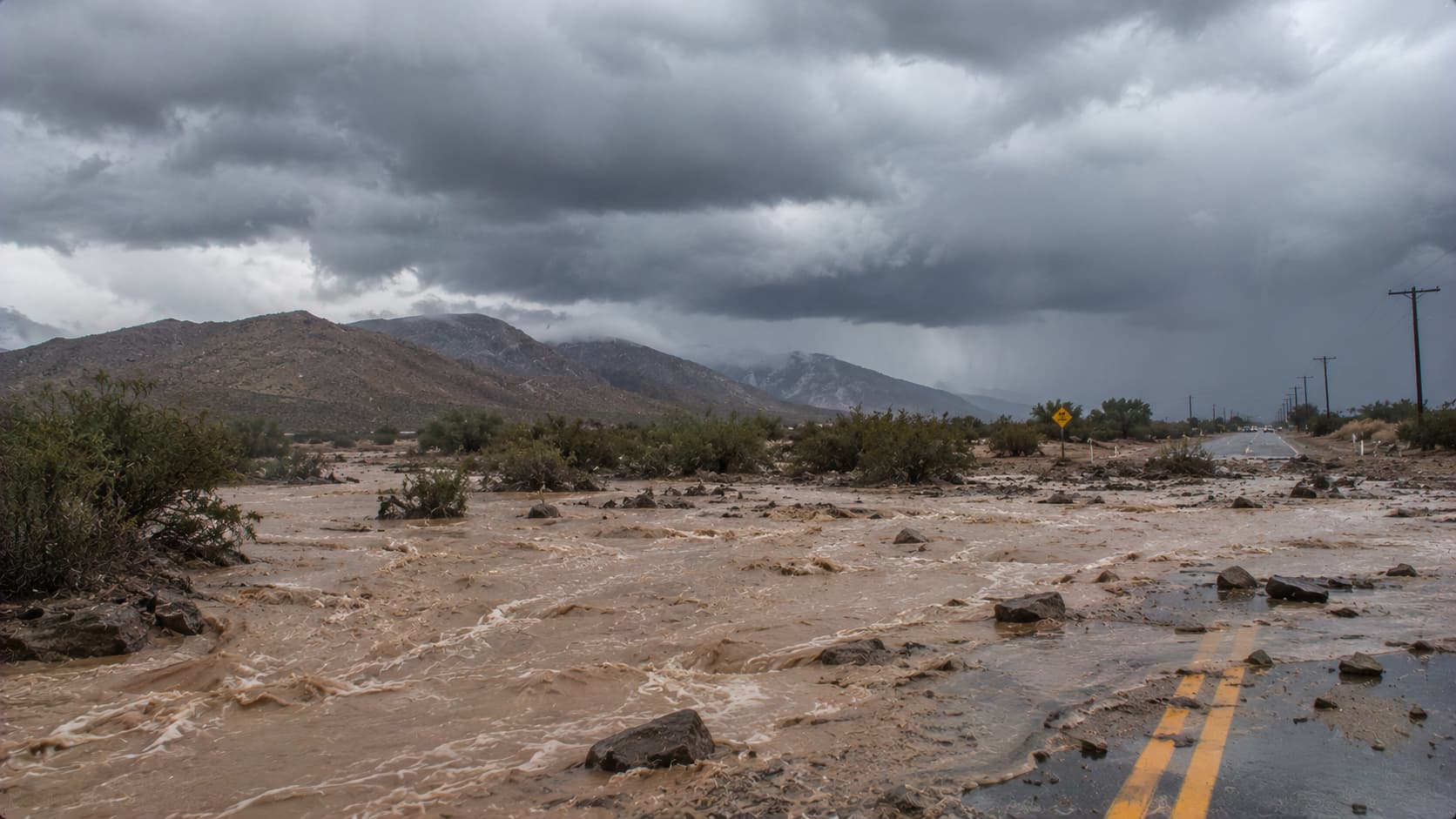
On August 20, 2023, Tropical Storm Hilary brought unusually heavy rainfall to Southern California, including the normally dry Coachella Valley. The NWS documented flooding, damaged bridges, washed-out roads, and debris flows across mountain and desert areas. Mud and debris also covered sections of Interstate 10. A tropical storm in the desert may sound unlikely, but the region learned that “dry” doesn’t mean flood-proof.