Satellite technology quietly changed everyday life in ways most of us barely notice. Sure, we know they’re floating around somewhere above Earth, but who would guess they’re helping banks keep accurate records, delivery trucks find better routes, and even farmers figure out when their fields need water?
The surprising part is how much of this technology works behind the scenes. From checking tomorrow’s weather to getting an internet connection in the middle of nowhere, here are 15 ways satellites have become the invisible helpers of modern life.
1. GPS Made Paper Maps Almost Unnecessary for Everyday Driving
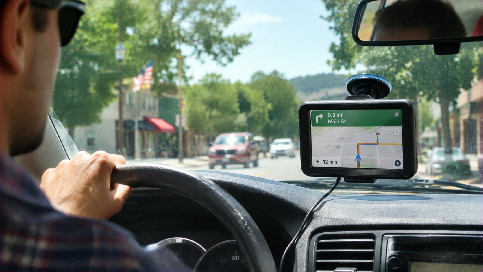
Remember when getting lost meant pulling over, unfolding a giant road map, and hoping someone knew which direction was north? GPS changed that by using signals from satellites equipped with atomic clocks to calculate a receiver´s position. Navigation apps then combine that information with maps and traffic updates. And here´s a detail worth knowing: GPS satellites aren´t following individual drivers around. The phone figures out its own location.
2. Weather Forecasts Became Far More Useful
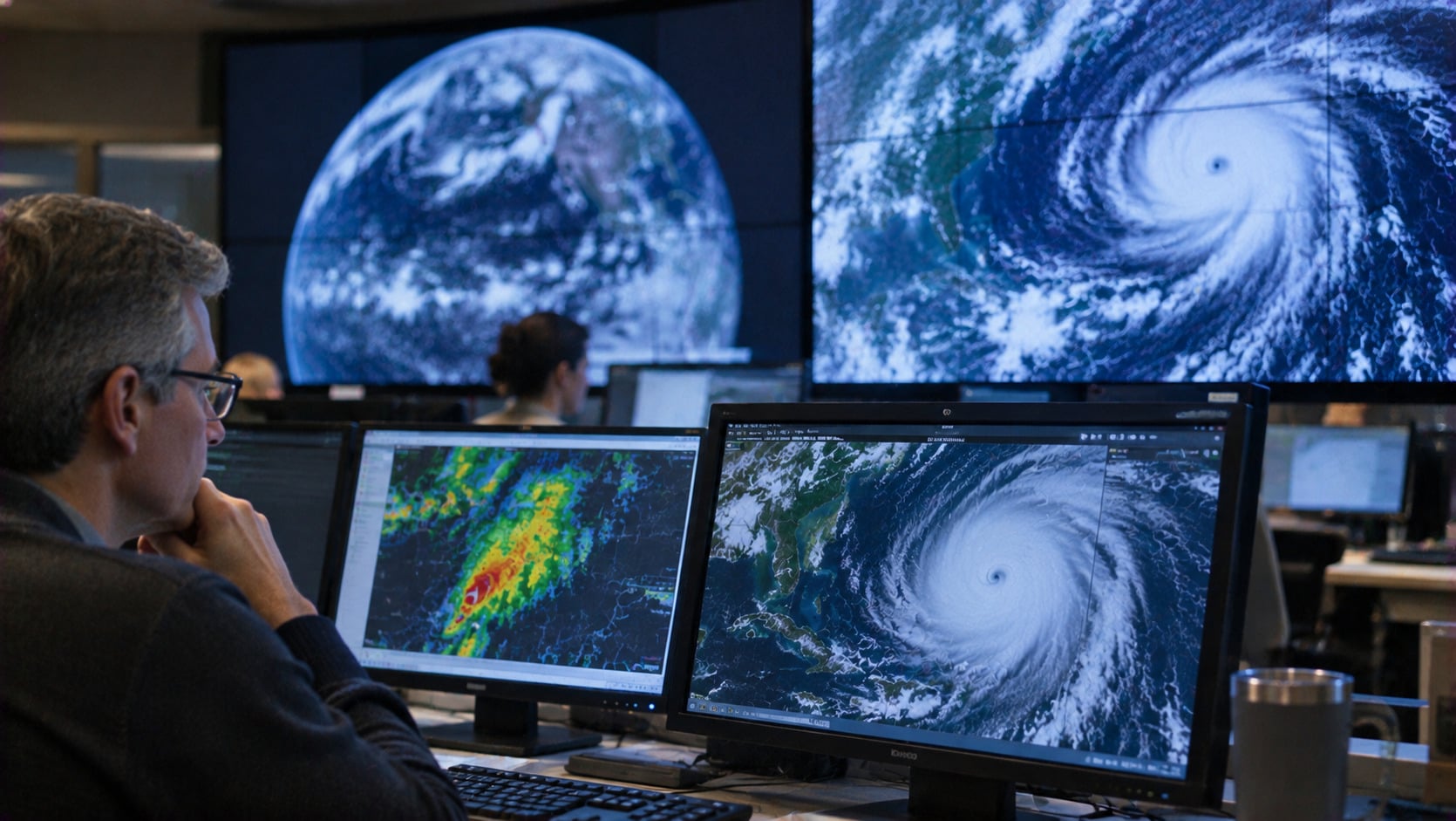
Checking the forecast before leaving home feels ordinary now, but predicting weather across entire oceans used to be a serious challenge. Satellites changed the picture by observing clouds, temperatures, moisture, and developing storms across huge areas. NOAA says polar-orbiting satellites provide more than 89% of the data used in numerical forecasts three to seven days ahead. They can´t guarantee a sunny picnic, but they´ve made guessing about the weather considerably more scientific.
3. Banks Use Satellite Signals to Keep Their Clocks Accurate
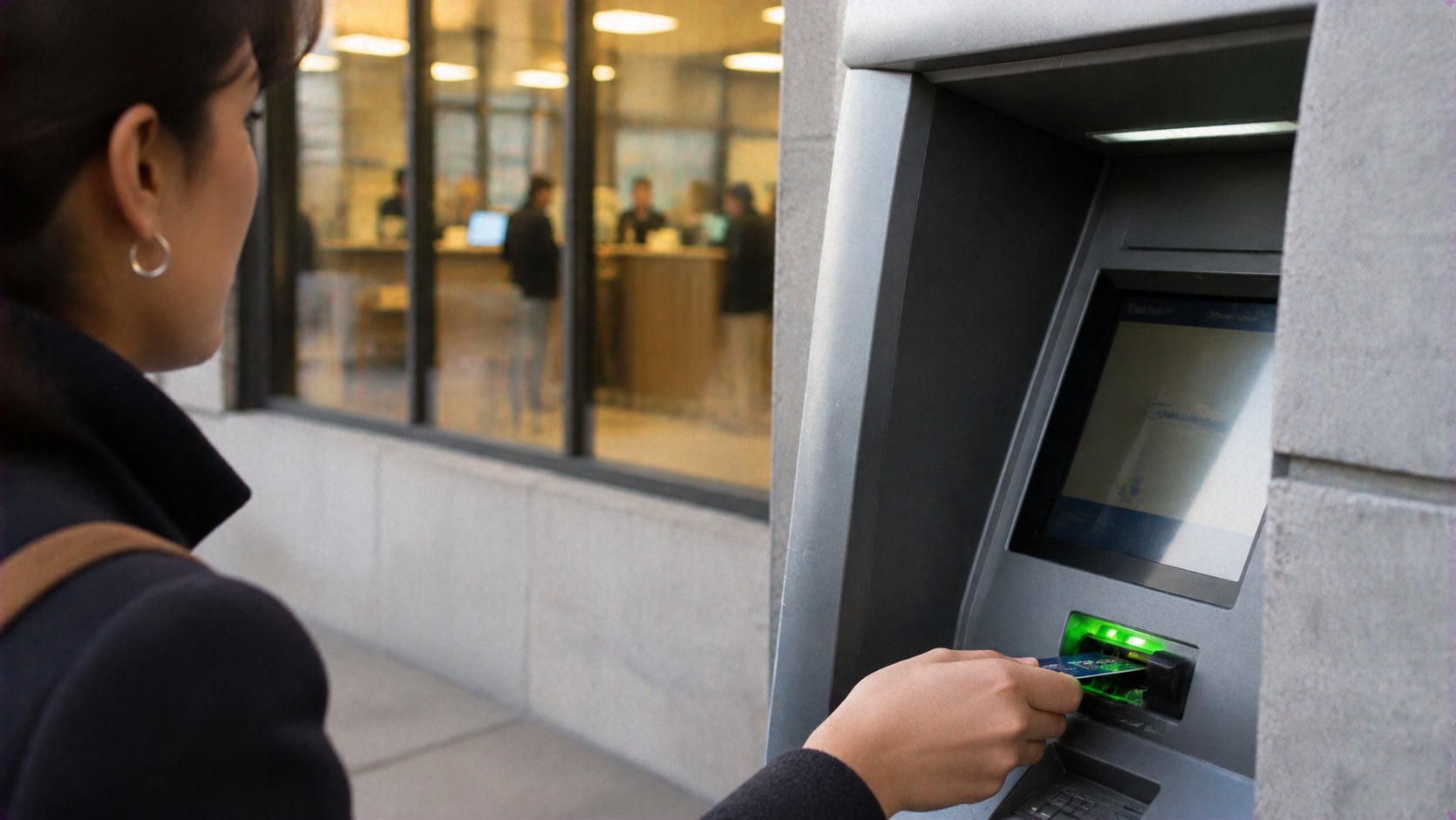
What does satellite have to do with a bank transfer? Surprisingly quite a bit. GPS satellites carry atomic clocks that provide extremely precise timing signals, helping financial institutions synchronize computers across different locations. That accuracy matters when transactions need reliable timestamps and consistent records. Your money isn´t necessarily traveling through space, but the timing that helps organize financial activity may be coming from there.
4. Cellphone Towers Can Use Satellites Without Sending Calls Into Space
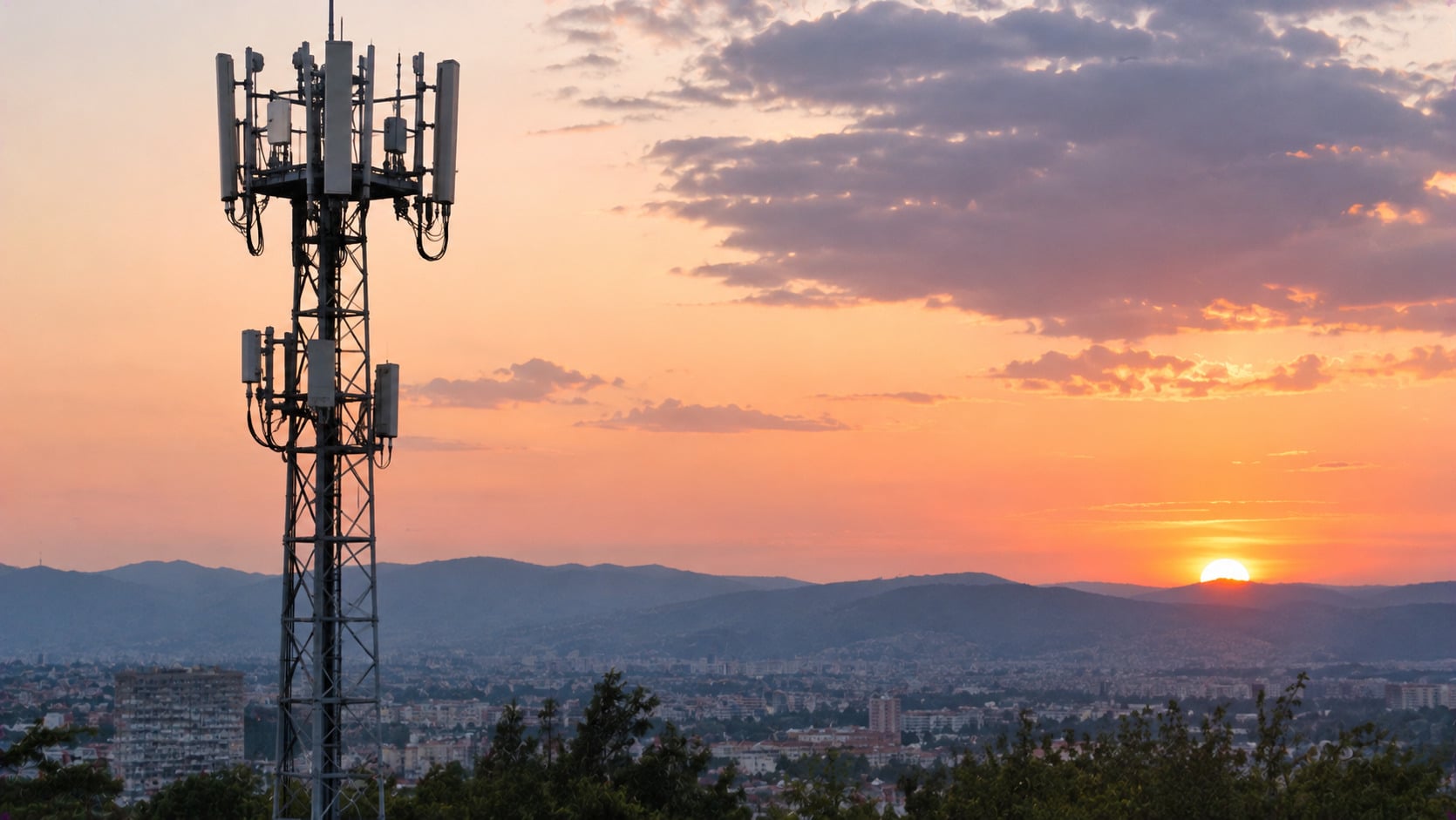
Here´s a small twist: your phone call probably isn’t bouncing off a satellite, even when satellite technology is helping the network. Some cellphone systems use GPS timing signals to keep towers synchronized and coordinate their transmissions. The conversations themselves usually travel through ground-based infrastructure. So while the satellite isn´t listening to your weekend plans, its clock may be helping the network run smoothly.
5. One Satellite Helped Make Live International Television a Reality

Imagine watching a live television broadcast from another continent in 1962. That was a pretty big deal. NASA´s Telstar 1, launched on July 10 that year, helped relay television pictures across the Atlantic. Later that month, a public broadcast featured images of the Statue of Liberty, the Eiffel Tower, and part of a baseball game. Suddenly, live international television wasn´t just a futuristic idea. It was happening on screen.
Trending on The Scroller


6. Farmers Can Measure Soil Moisture Without Digging Into the Ground

How do farmers and researchers check moisture across enormous agricultural regions without digging thousands of holes? They can look to space. NASA´s SMAP satellite, launched in 2015, measures moisture in roughly the top two inches of soil across broad areas. Its observations help track drought conditions and improve agricultural planning. It can´t tell whether one particular tomato plant needs watering, but it can reveal important patterns across entire regions.
7. A Small Emergency Beacon Can Bring Help From Space
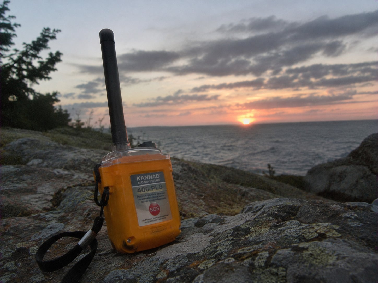
No cellphone signal, no nearby town, and no easy way to call for help. Sounds terrifying, right? A properly registered emergency beacon can still send a distress signal that satellites in the Cospas-Sarsat system detect and relay to rescue at least 51, 512 people between 1982 and 2020. Sometimes the most important connection isn´t the one on a phone screen.
8. Satellites Help Pilots Land When Visibility Is Poor
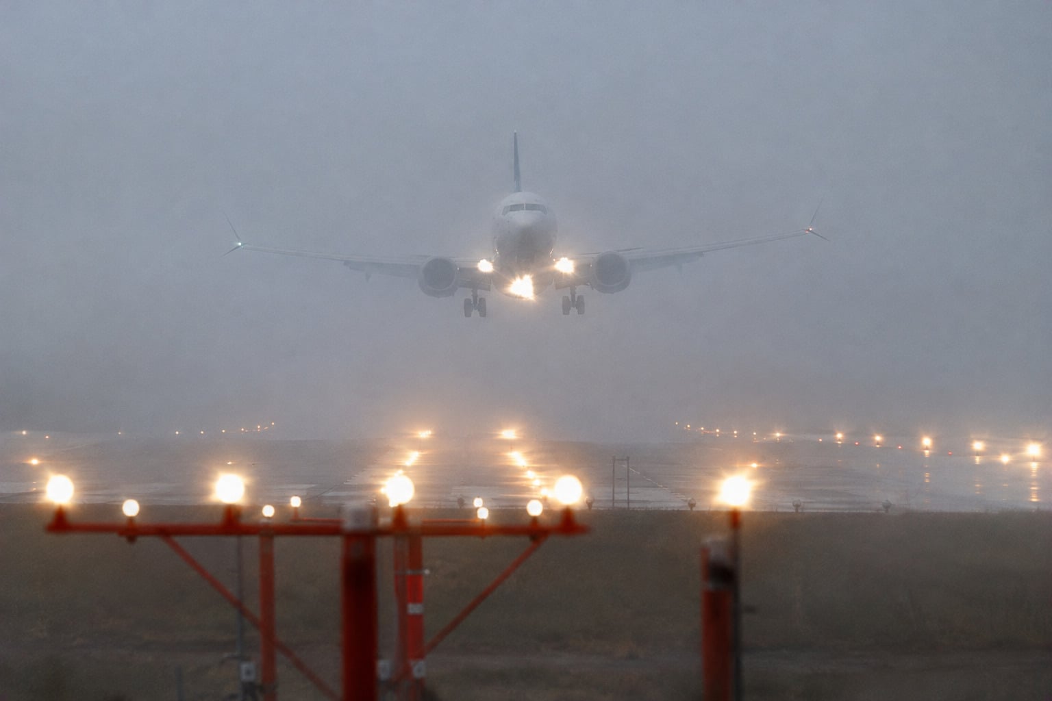
Landing an airplane through thick clouds isn´t exactly a situation where guessing is acceptable. The FAA´s Wide Area Augmentation System, or WAAS, combines GPS signals with ground monitoring and satellite-broadcast corrections to improve navigation accuracy. Properly equipped aircraft can use it for guided instrument approaches at qualifying airports. It´s not a replacement for every landing system, but it gives pilots another valuable tool when the runway isn´t easy to see.
Sign up for our newsletter
9. Satellites Can Spot Wildfires Before They Reach Populated Areas
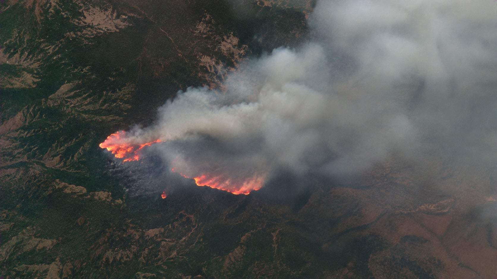
A wildfire doesn´t always start somewhere people can see the smoke. In remote forests and mountains, a growing fire might go unnoticed from the ground. NOAA satellites help by detecting heat signatures, monitoring active fires, and following smoke across large regions. Clouds and small fire size can limit detection, but those overhead observations give emergency teams another way to identify trouble. Not bad for technology operating far above the treetops.
10. Delivery Companies Can Find More Efficient Routes
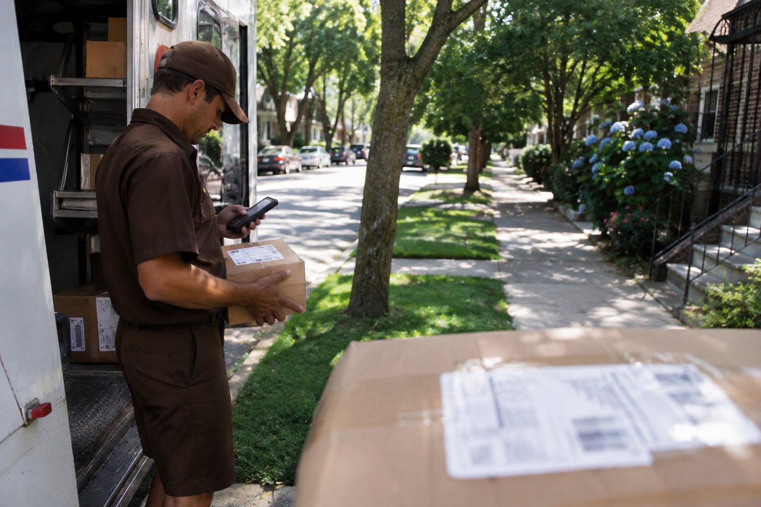
Satellite technology quietly changed everyday life right down to the packages arriving at our doors. GPS helps delivery companies locate vehicles, coordinate routes, and respond to changing road conditions. Combine that positioning information with traffic data and logistics software, and managing a fleet becomes considerably easier. The tracking notification on your phone usually comes from scans and computer systems, not directly from a satellite. Still, space technology plays an important supporting role in getting that package moving.
11. Satellites Can Detect Water Shortages Hidden Underground
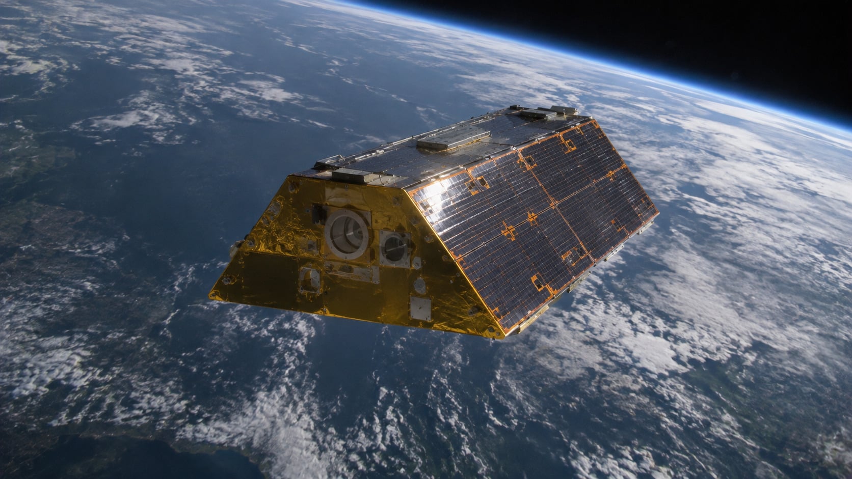
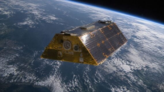
A region can look perfectly green after a rainy season and still be losing groundwater beneath the surface. How would anyone know? NASA´s GRACE and GRACE Follow-On satellites measure tiny changes in Earth´s gravity that reveal shifts in large amounts of stored water. Scientists combine those observations with other data to study droughts and depleted aquifers. It´s a remarkable way to investigate a problem that´s mostly invisible from the ground.
12. Satellites Help Scientists Understand Where Fish Are Likely to Be
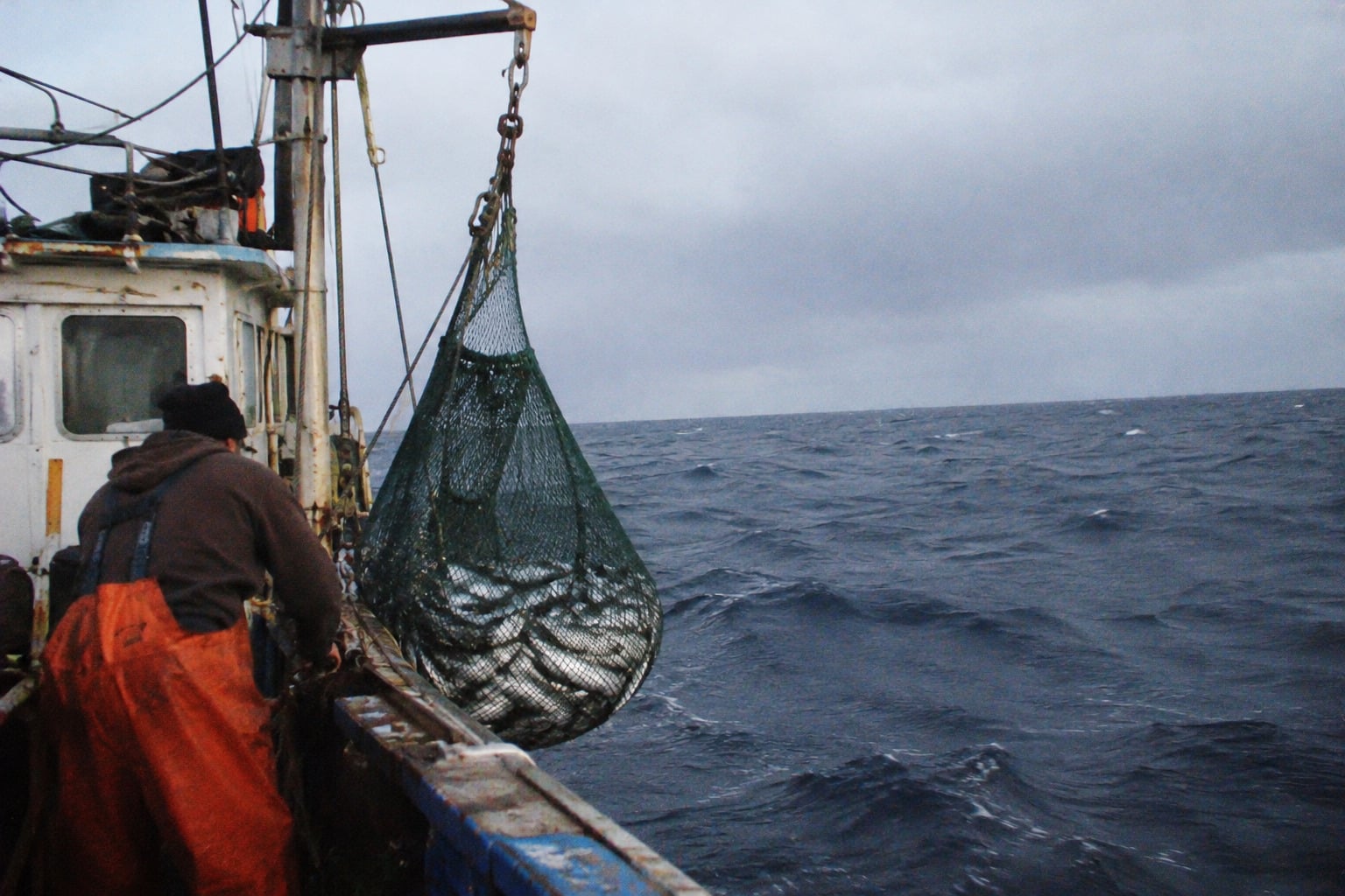
The ocean might look like one enormous stretch of blue, but satellites can reveal a much more complicated picture. By measuring sea-surface temperatures and ocean color, scientists identify environmental conditions that influence marine life. NOAA Fisheries uses this information to study habitats and support fisheries management. No, satellites can´t point to an individual tuna swimming beneath the waves, but they can help explain where favorable conditions are developing.
13. Flood Maps Can Be Updated Even When Roads Are Impassable
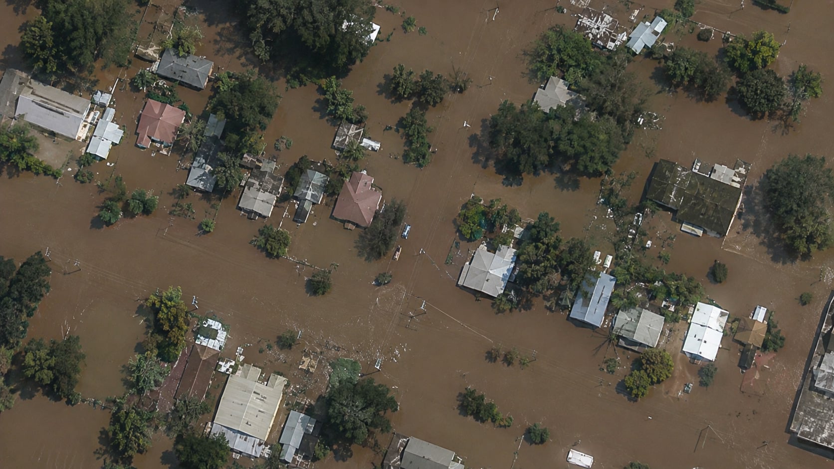
When floodwaters cover roads and cut off neighborhoods, how do emergency teams figure out what´s happening in places they can´t reach? Satellite imagery provides an important part of the answer. Radar satellites can even observe Earth´s surface through clouds, helping map flooding when ordinary photographs are less useful. The images still have limitations, but they can reveal the extent of a disaster without requiring someone to drive into dangerous conditions.
14. Remote Homes Can Get Internet Without a Cable Connection
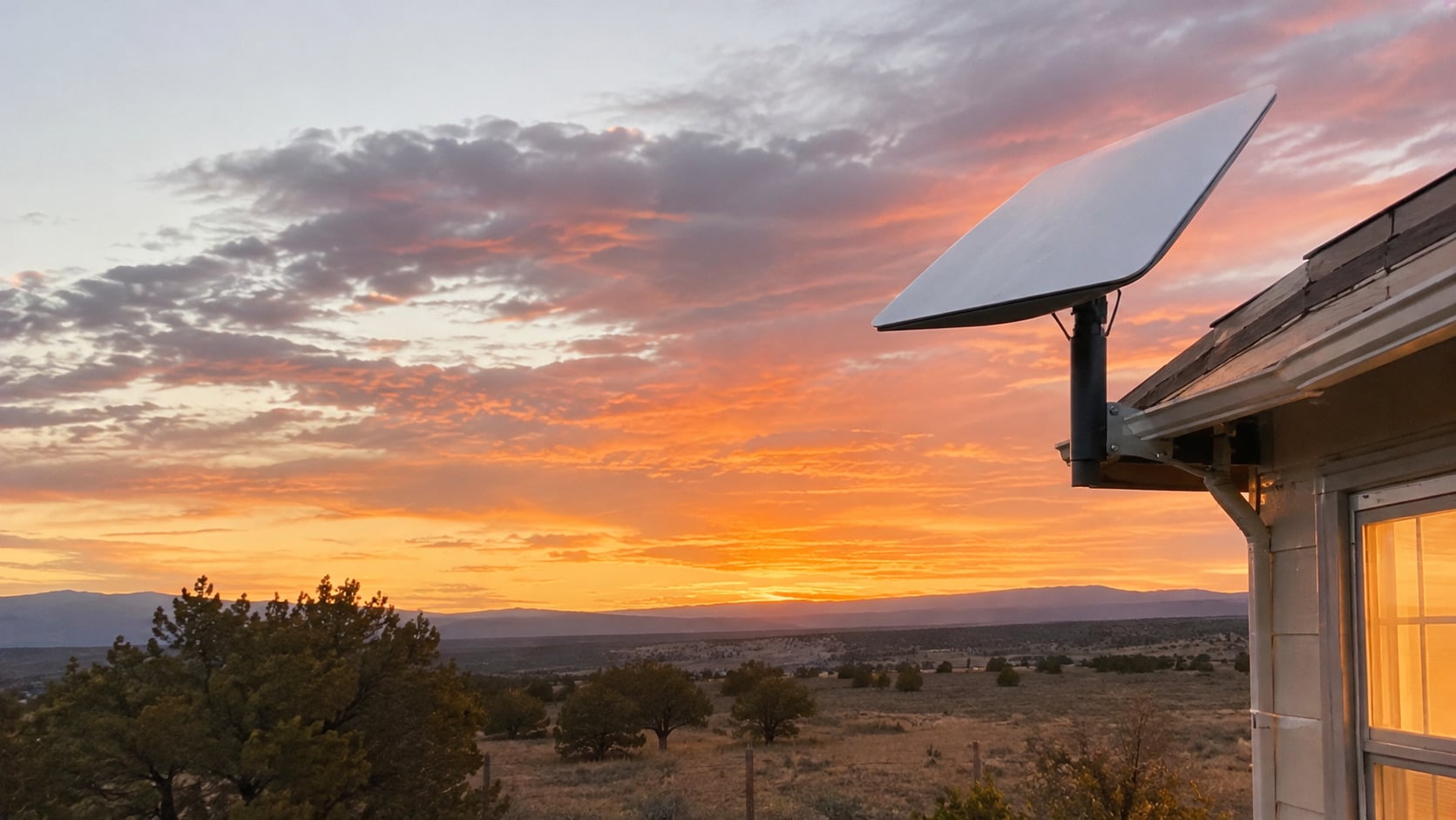
Living far from a city can mean incredible scenery and terrible internet options. Satellite broadband offers an alternative by connecting ground equipment to spacecraft overhead, avoiding the need for a cable running all the way to a remote property. Newer low-Earth-orbit networks can also reduce transmission delays compared with traditionañ high-altitude systems. Coverage and performance vary, but for some households, the internet connection really does come from the sky.
15. Power Companies Use Satellite Time to Monitor the Electrical Grid
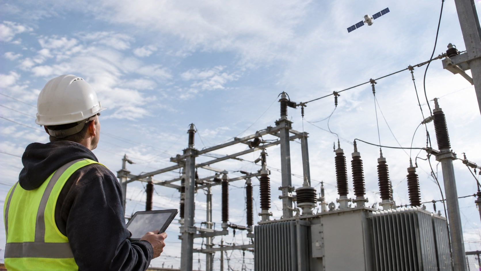
Keeping electricity flowing involves a lot more than power plants and wires. Modern grid-monitoring equipment can use GPS timing signals to synchronize measurements taken across different locations. That helps operators investigate disturbances and understand what’s happening throughout interconnected networks. Satellites aren´t sending electricity into homes, of course. They´re providing precise timing that helps some of the systems responsible for keeping the lights on.
Satellites rarely get credit for the small conveniences they make possible. They’re not responsible for every part of modern communication, transportation, or infrastructure, but their signals and observations have become woven into everyday systems. The next time a navigation app finds a shortcut or a weather forecast warns of an approaching storm, there’s a good chance something overhead helped make it happen.
Keep Exploring The Scroller
Think space technology is all rockets, astronauts, and distant planets? Turns out, some of its most fascinating stories are happening right here on Earth. Keep exploring The Scroller for surprising inventions, hidden technologies, and the everyday wonders that deserve a closer look:
19 Space Myths Almost Everyone Believed in the 1970s
15 Places on Earth That NASA Uses to Train Astronauts Because They Look Like Other Planets
20 Things Scientists Thought Were Impossible That We Now Take for Granted