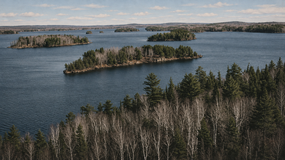
Not every beautiful destination comes with a road leading straight to it. Across the United States and Canada, some islands and protected wilderness areas can only be reached by crossing the water. A few have passenger ferries, while others require a water taxi, private boat, or kayak. From abandoned military forts to unusual rock formations and isolated wildlife habitats, these 15 destinations offer something worth making the crossing for.
1. Sucia Island, Washington
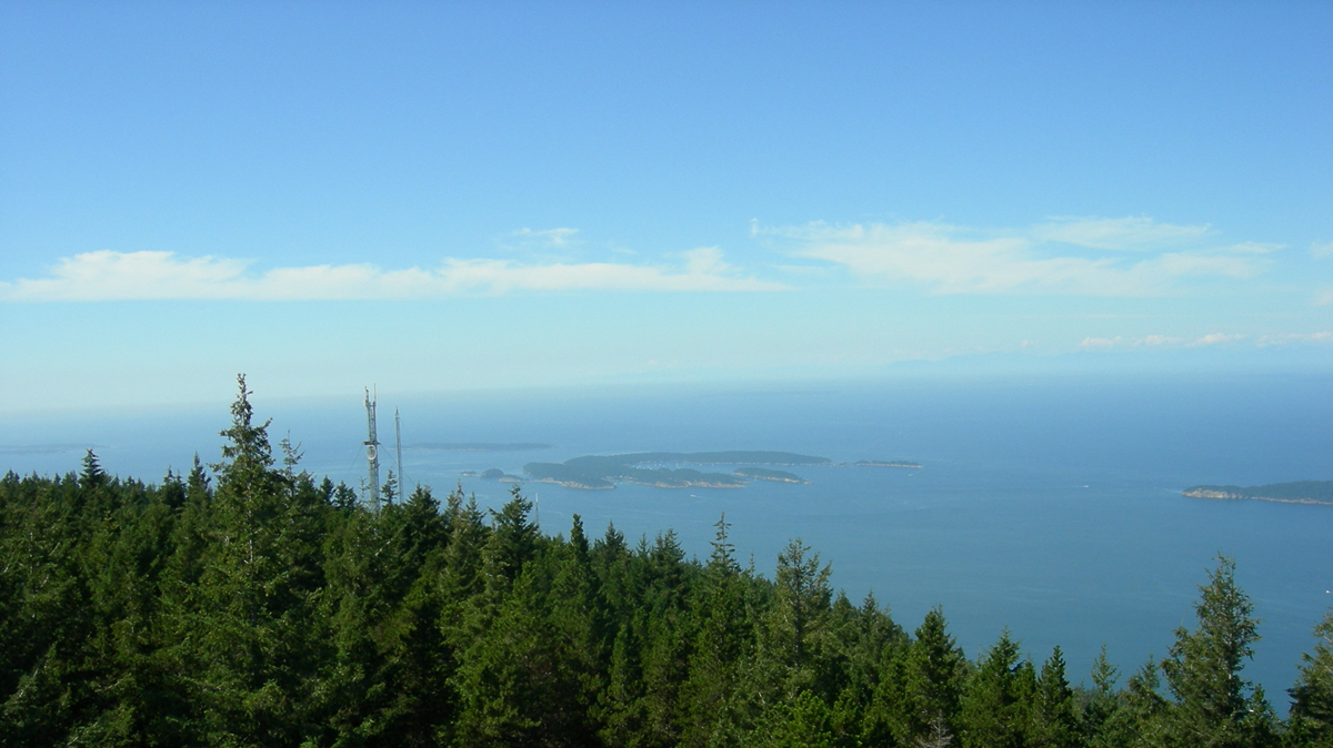
Sucia Island, in Washington’s San Juan Islands, is known for its unusual sandstone formations, sheltered coves, and forested walking trails. Accessible only by boat, the island offers primitive campsites, rocky beaches, and several natural harbors. Fossil Bay is particularly interesting for its geological history, although collecting fossils is prohibited. Visitors can spend the day exploring the shoreline or stay overnight beneath the trees. There are no stores on the island, so bringing supplies is essential.
2. Cumberland Island, Georgia
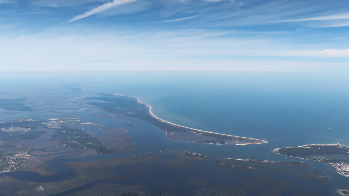
Wild horses wandering near the beach are among the first things visitors hope to see on Cumberland Island. Located off Georgia’s southern coast, the island is accessible only by boat, with passenger ferries departing from St. Marys. Beyond its undeveloped beaches, visitors can explore maritime forests and the ruins of Dungeness, a mansion associated with the Carnegie family. The island has more than 50 miles of trails and roads, along with approximately 18 miles of beaches. Its combination of wildlife and abandoned architecture makes it an unusual coastal destination.
3. Flowerpot Island, Ontario
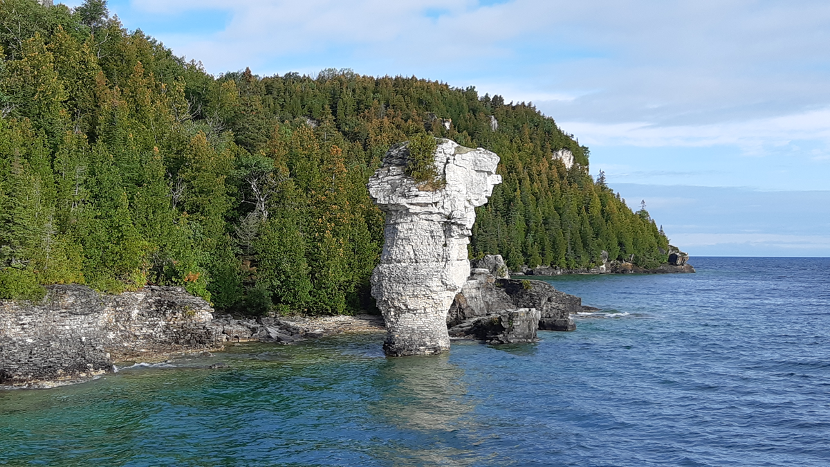
The main attraction on Flowerpot Island is right in its name. Two towering limestone formations rise beside the shore, shaped by erosion into structures resembling enormous flowerpots. Located in Fathom Five National Marine Park near Tobermory, the island is accessible only by boat. Visitors can follow hiking trails through the forest, explore the rocky shoreline, and visit a historic light station. The clear waters of Georgian Bay add another reason to make the crossing.
4. Ship Island, Mississippi
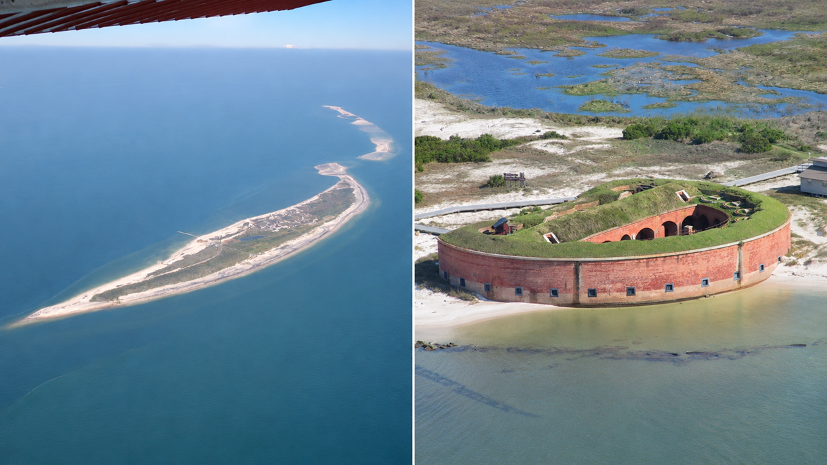
About 12 miles off Mississippi’s coast, Ship Island offers sandy beaches, warm-weather swimming, and a surprisingly interesting piece of military history. Visitors arrive by private boat or seasonal passenger ferry, including services departing from Gulfport. Fort Massachusetts, a 19th-century coastal fortification completed in 1868, stands near the island’s northern shore. Dolphins are sometimes spotted during the crossing, while the island’s beaches provide a break from the mainland’s developed coastline.
5. Beausoleil Island, Ontario
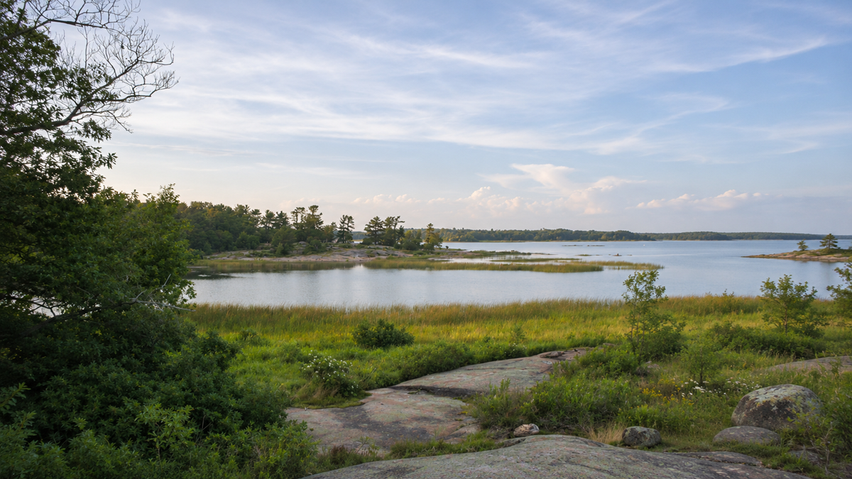
Beausoleil Island is the main visitor destination within Georgian Bay Islands National Park, accessible only by boat. Water taxis and scheduled boat excursions connect it with the Honey Harbour area. The island has hiking trails, sheltered coves, and forests where northern and southern ecosystems meet. Visitors can swim, camp, or spend the day exploring its rocky shoreline. Its mixture of clear water, granite outcrops, and wooded trails makes it particularly appealing during summer.
Trending on The Scroller
6. Horn Island, Mississippi
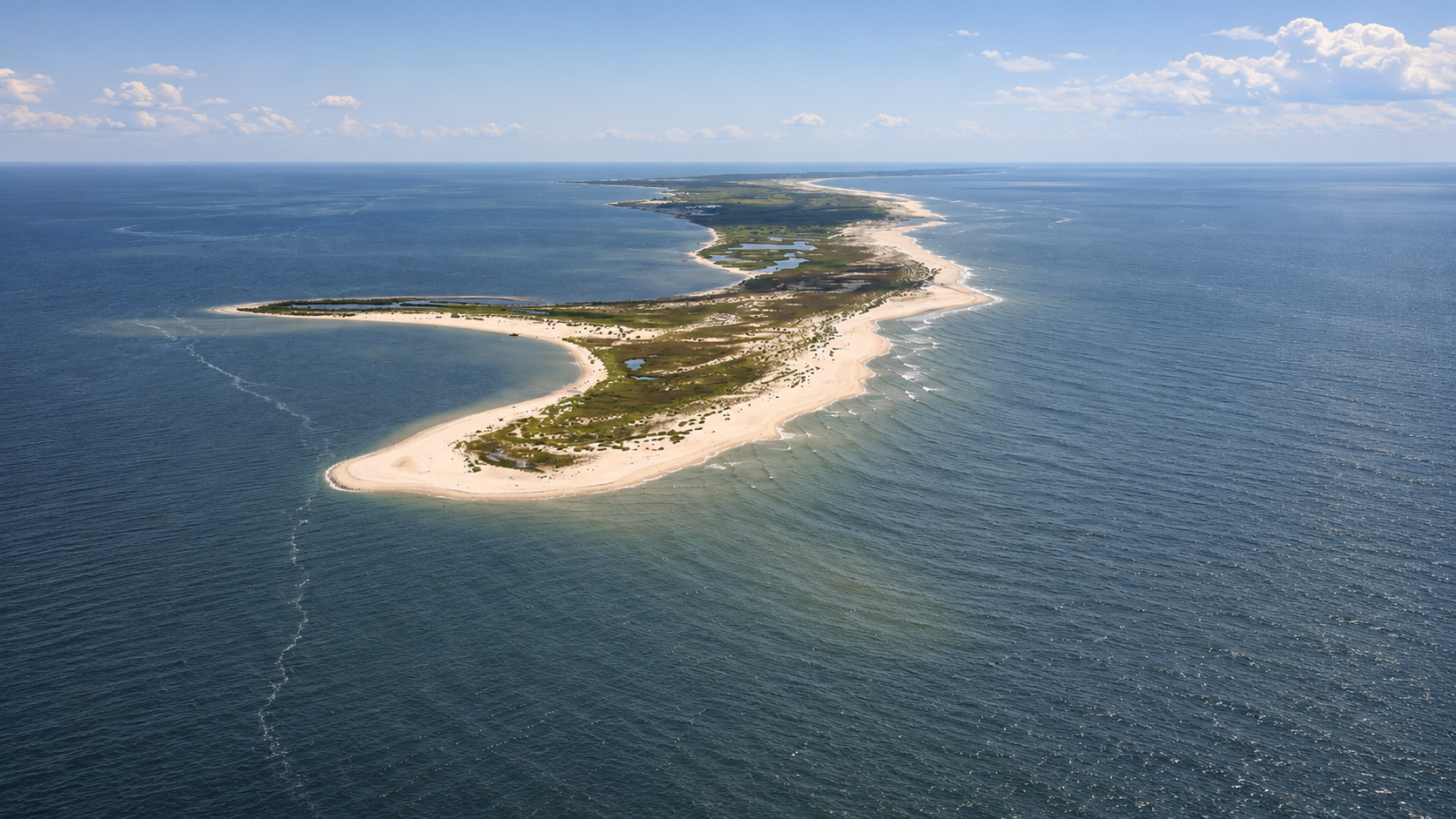
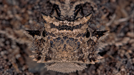
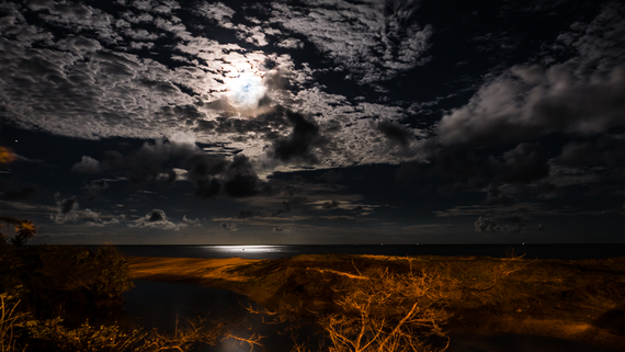
Horn Island lies off Mississippi’s coast, with no roads, developed visitor facilities, or public ferry service. Reaching it requires a private boat or transportation arranged through an authorized operator. The island is part of Gulf Islands National Seashore and has been federally protected as wilderness since 1978. Visitors come for birdwatching, fishing, camping, and stretches of shoreline without the development found at more accessible beaches. Anyone planning a visit needs to bring drinking water and other essential supplies.
7. Clark Island, Washington
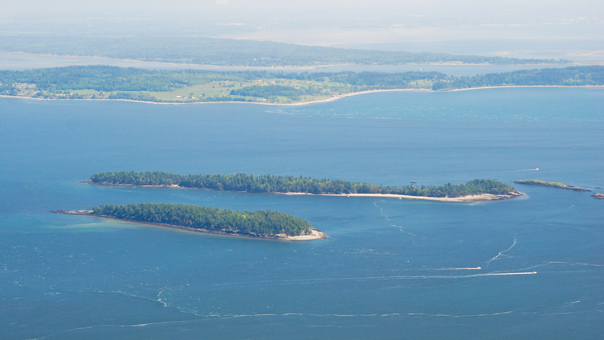
Tucked into Washington’s San Juan Islands, Clark Island Marine State Park covers approximately 55 acres and offers sandy beaches, forested areas, and primitive campsites. It can only be reached by boat or kayak, with no passenger ferry service to the island. Campers can enjoy views toward neighboring islands, while paddlers often stop here during longer trips through the San Juans. The island’s small size makes it easy to explore without spending hours on hiking trails.
8. Apostle Islands, Wisconsin
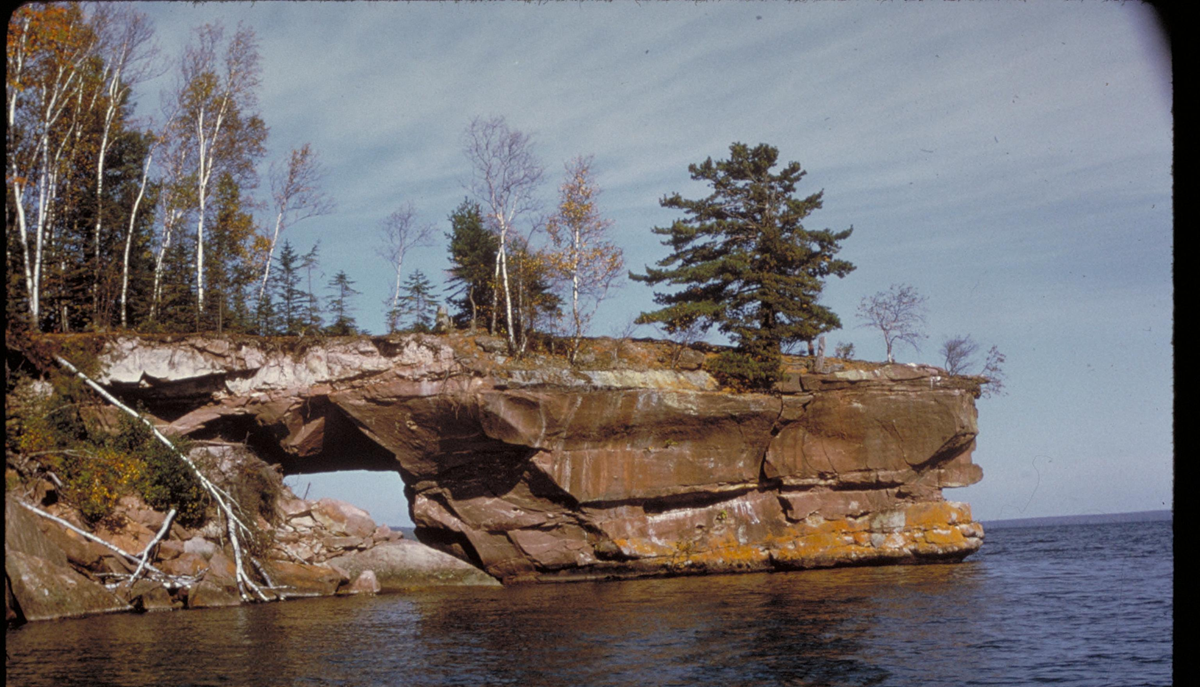
Lake Superior’s Apostle Islands are known for their sandstone cliffs, sea caves, historic lighthouses, and secluded beaches. The 21 islands within Apostle Islands National Lakeshore have no road connections, so visitors need a boat or kayak to reach them. Sand Island is particularly appealing for its lighthouse and shoreline scenery, while Raspberry Island has another beautifully preserved light station. Some islands offer camping, giving visitors a chance to experience a quieter side of the Great Lakes.
Sign up for our newsletter
9. Hart-Miller Island, Maryland
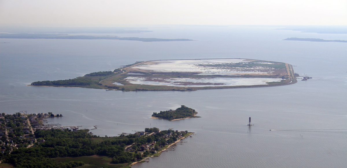
Hart-Miller Island has an unusual history for a state park. Located in Chesapeake Bay near Baltimore, it was formed when two islands were joined by a dike in 1981, creating a containment area for material dredged from Baltimore Harbor. Today, visitors arrive by personal boat to enjoy a sandy beach, fishing, seasonal camping, and birdwatching. The island’s restored habitats attract migrating birds, while its western shoreline offers views across the Chesapeake Bay. There is no road connection or regular passenger ferry service.
10. Portland Island, British Columbia
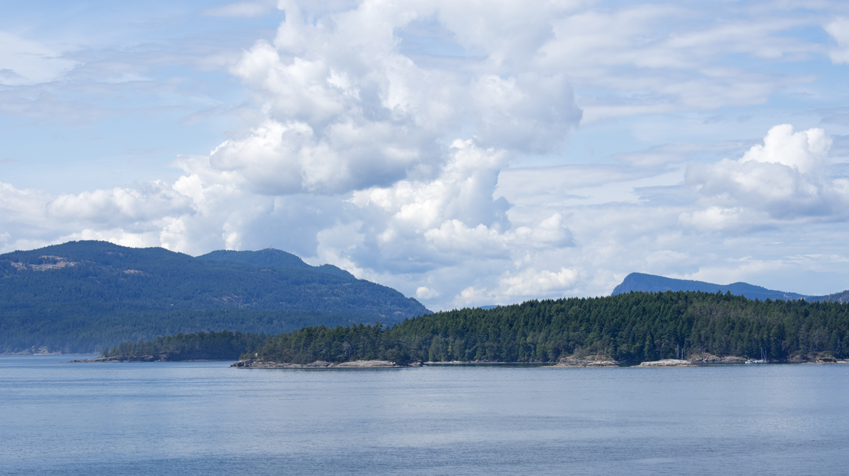
Portland Island, also known as Princess Margaret Island, sits within Canada’s Gulf Islands National Park Reserve. Accessible only by boat, it has shoreline trails, protected coves, and three backcountry camping areas. The island was settled by Hawaiian immigrants during the 1880s and later used for agriculture. Walking its trails takes visitors through coastal forests and past views of neighboring islands. It’s especially appealing to travelers exploring the sheltered waters between Vancouver Island and mainland British Columbia.
11. Little American Island, Minnesota
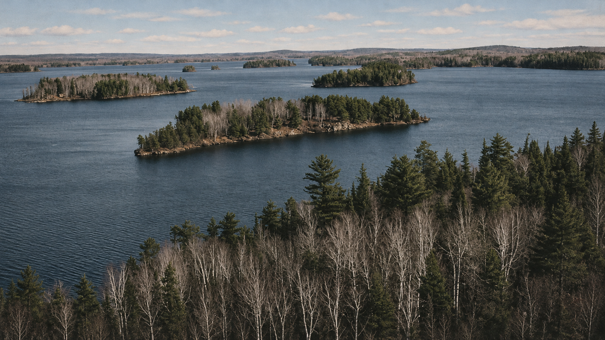
A tiny island in Voyageurs National Park preserves evidence of Minnesota’s brief gold rush during the 1890s. Little American Island is reached only by boat, roughly two miles from the Rainy Lake Visitor Center. A quarter-mile round-trip walking trail leads past old mining machinery, tailings, and remnants of the Little America Mine. The visit doesn’t take long, but it offers an unexpected glimpse of mining history in a park better known for its lakes, forests, and wildlife.
12. Tumbo Island, British Columbia
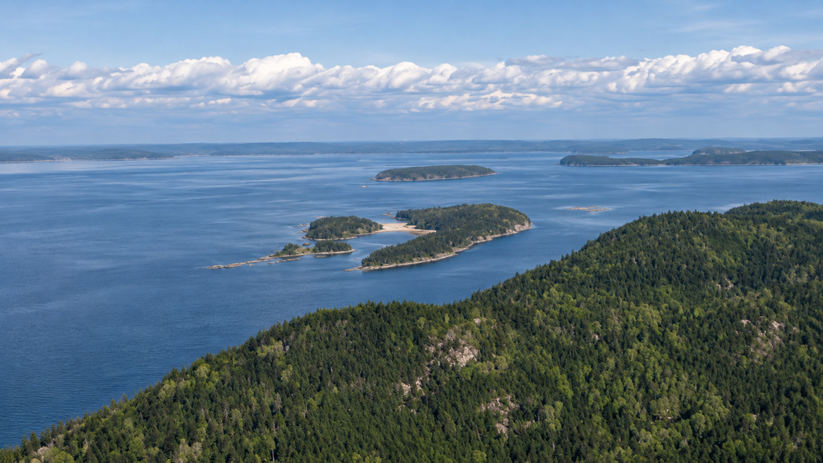
Tumbo Island is one of the quieter destinations within Gulf Islands National Park Reserve. Accessible only by boat, it features a 3.5-kilometer walking trail passing through coastal forest, marshes, and Garry oak woodland. Visitors can enjoy views across the water toward Cabbage Island and the San Juan Islands. With no shops or developed visitor services, it is best suited to people looking for a peaceful day of hiking and exploring the shoreline.
13. Petit Bois Island, Mississippi
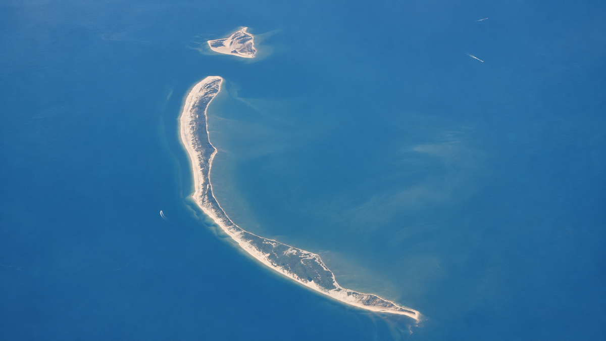
Petit Bois Island is a protected barrier island off Mississippi’s coast, accessible only by private boat or arranged charter transportation. Unlike developed beach destinations, it has no visitor facilities, shops, or regular ferry service. The island’s beaches, dunes, and coastal habitats provide important space for wildlife, including shorebirds. Its changing shoreline also reveals how storms, waves, and currents continually reshape Gulf Coast barrier islands. Visitors looking for a quiet beach experience need to arrive prepared for wilderness conditions.
14. Russell Island, British Columbia
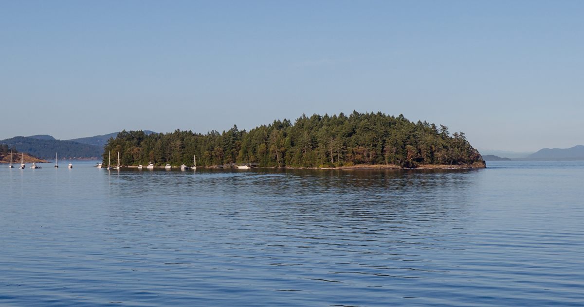
Russell Island is a small, boat-access-only destination within Gulf Islands National Park Reserve. A short walking trail passes through coastal forest and leads toward a surviving Hawaiian homestead dating back more than a century. The island’s history includes William Haumea, a Hawaiian settler who acquired the property in 1886, and Maria Mahoi, who moved there in 1902. Along with its history, Russell Island offers peaceful shoreline views and an opportunity to explore a lesser-known part of the Gulf Islands.
Gulf Islands National Park Reserve+1
15. Jones Island, Washington
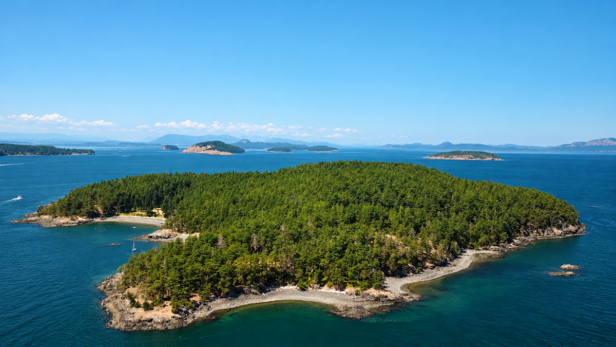
Jones Island Marine State Park sits among Washington’s San Juan Islands and is accessible only by boat. The island offers approximately four miles of hiking trails, including a route through its forested interior and paths with views across the surrounding water. Visitors can camp near the shoreline, explore rocky beaches, or look for deer and river otters. Its sheltered coves attract recreational boaters and kayakers, while primitive campsites provide an opportunity to spend the night away from the busier islands nearby.
In the mood for more?
Check out 15 Places That Get an Upgrade Every Time It Storms, or take a look at 15 Places on Earth So Extreme They Look Almost Impossible. If you want to see more world destinations, you can check out 15 Famous Places That Get Surprisingly Quiet at the Right Time of Year.